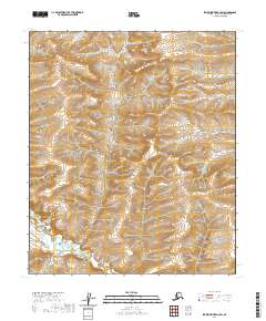
2020 Map of Ikpikpuk River B-2 SW
USGS Topo · Published 2020About this map
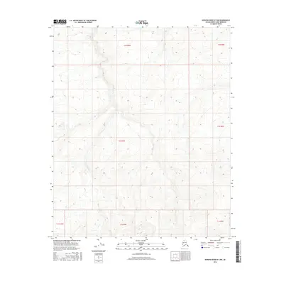
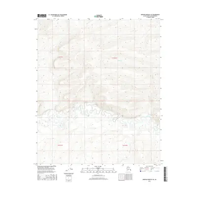
Maybe Creek flows through the southern reaches of this North Slope landscape, part of a drainage network that defines the region's topography. This remote section of the Alaskan interior is characterized by its relative lack of human-made infrastructure, instead highlighting the natural hydrology of the Arctic coastal plain. Small tributaries including Baby Cr and Alice Cr cut through the terrain, illustrating the seasonal water movement that shapes the ground. For researchers or cartographic enthusiasts, this survey provides a precise look at the land's elevation and stream patterns as they appeared in 2020. The absence of named settlements or roads underscores the wilderness character of the North Slope borough's vast interior, where topographic detail becomes the primary narrative of the land.
Find a feature on this map
9 named features on this map. Tap any name to fly to it.
Don’t see what you’re looking for? This feature index may not catch every label — zoom into the map to look around manually.
Map Details
Editions of this 2020 Ikpikpuk River B-2 SW Map
This is the sole edition of this map. No revisions or reprints were ever made.
Other maps of this area

1951 · Ikpikpuk River
USGS Topo · 1:250,000

1956 · Ikpikpuk River
USGS Topo · 1:250,000

1984 · Ikpikpuk River A-3
USGS Topo · 1:63,360

1984 · Ikpikpuk River A-2
USGS Topo · 1:63,360

1985 · Ikpikpuk River B-3
USGS Topo · 1:63,360
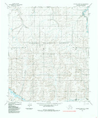
1985 · Ikpikpuk River B-2
USGS Topo · 1:63,360
2013 · Ikpikpuk River B-2 SE
USGS Topo · 1:25,000
2015 · Ikpikpuk River B-2 NE
USGS Topo · 1:25,000
2016 · Ikpikpuk River B-2 NW
USGS Topo · 1:25,000
2016 · Ikpikpuk River B-3 SE
USGS Topo · 1:25,000