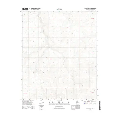
2016 Map of Ikpikpuk River B-2 NW
USGS Topo · Published 2016About this map
Alice Creek and Baby Creek provide the primary drainage for this stretch of the North Slope, where the terrain is defined by a dense network of high-latitude drainage patterns and seasonal waterways. Surveyed in 2016, the landscape within the t1n r9w and t2n r9w townships remains largely unpopulated, showing the pristine state of the Arctic tundra before any significant industrial or infrastructure development. This survey serves as a precise baseline for the hydrological features of the region, documenting the intricate winding of small creek beds through the varied elevations of the Alaskan wilderness. Researchers can observe the natural topographical contours that dictate the flow of these northern waters toward the larger drainage basins beyond the map boundaries.
Find a feature on this map
9 named features on this map. Tap any name to fly to it.
Don’t see what you’re looking for? This feature index may not catch every label — zoom into the map to look around manually.
Map Details
Editions of this 2016 Ikpikpuk River B-2 NW Map
This is the sole edition of this map. No revisions or reprints were ever made.
Other maps of this area

1951 · Ikpikpuk River
USGS Topo · 1:250,000

1956 · Ikpikpuk River
USGS Topo · 1:250,000

1985 · Ikpikpuk River B-3
USGS Topo · 1:63,360
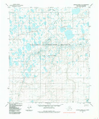
1985 · Ikpikpuk River C-2
USGS Topo · 1:63,360
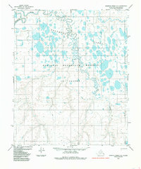
1985 · Ikpikpuk River C-3
USGS Topo · 1:63,360
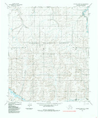
1985 · Ikpikpuk River B-2
USGS Topo · 1:63,360
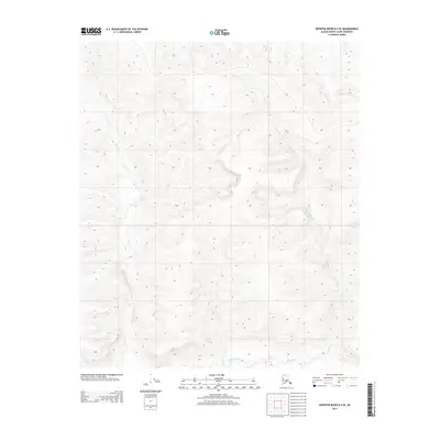
2013 · Ikpikpuk River B-2 SE
USGS Topo · 1:25,000
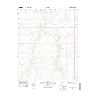
2015 · Ikpikpuk River C-3 SE
USGS Topo · 1:25,000
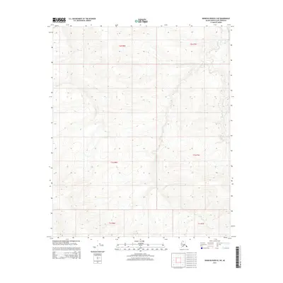
2015 · Ikpikpuk River B-2 NE
USGS Topo · 1:25,000
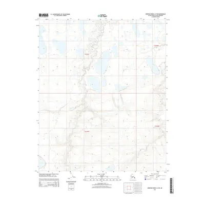
2015 · Ikpikpuk River C-2 SW
USGS Topo · 1:25,000