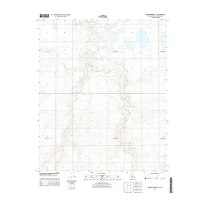
2015 Map of Ikpikpuk River C-3 SE
USGS Topo · Published 2015About this map
Fry Cr winds through this Arctic landscape, defining the primary drainage pattern across several townships including t3n r10w and t2n r10w. The terrain is characterized by the intricate hydrography typical of the North Slope, where countless small thaw lakes and thermokarst depressions dot the tundra between subtle elevation contours. Surveyed at a ten-foot interval, the map illustrates the fine-grained topography of the coastal plain, showing the relationship between the meandering stream beds and the surrounding level plains. This 2015 update by the U.S. Geological Survey utilizes satellite imagery to document the shifting surface water and permafrost features in this remote Alaskan borough.
Find a feature on this map
7 named features on this map. Tap any name to fly to it.
Don’t see what you’re looking for? This feature index may not catch every label — zoom into the map to look around manually.
Map Details
Editions of this 2015 Ikpikpuk River C-3 SE Map
This is the sole edition of this map. No revisions or reprints were ever made.
Other maps of this area

1951 · Ikpikpuk River
USGS Topo · 1:250,000

1956 · Ikpikpuk River
USGS Topo · 1:250,000

1985 · Ikpikpuk River B-3
USGS Topo · 1:63,360
1985 · Ikpikpuk River C-2
USGS Topo · 1:63,360
1985 · Ikpikpuk River C-3
USGS Topo · 1:63,360
1985 · Ikpikpuk River B-2
USGS Topo · 1:63,360
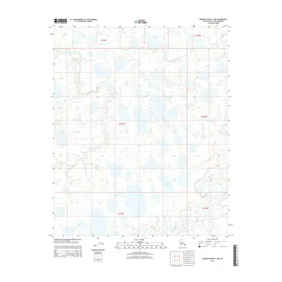
2015 · Ikpikpuk River C-2 NW
USGS Topo · 1:25,000
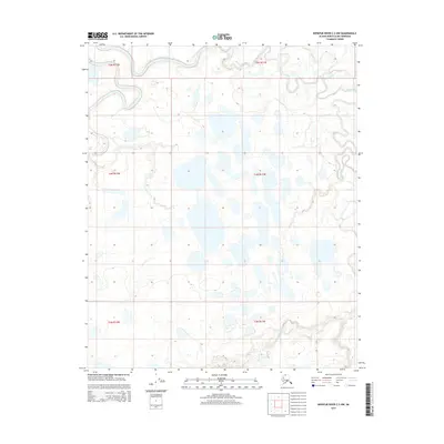
2015 · Ikpikpuk River C-3 NW
USGS Topo · 1:25,000
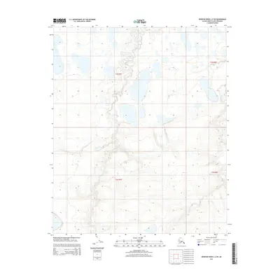
2015 · Ikpikpuk River C-2 SW
USGS Topo · 1:25,000
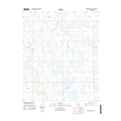
2015 · Ikpikpuk River C-3 NE
USGS Topo · 1:25,000