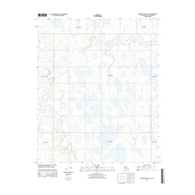
2015 Map of Ikpikpuk River C-3 NE
USGS Topo · Published 2015About this map
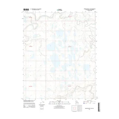
Fry Creek and its smaller branch, Fry Cr, define the drainage patterns of this Arctic landscape on the North Slope. This 2015 U.S. Geological Survey topographic study documents a saturated terrain characterized by dozens of unnamed thaw lakes and ponds scattered across the tundra. The map provides a clear look at the Public Land Survey System (PLSS) grid, showing the boundaries between various townships including t5n r10w, t4n r10w, and t3n r10w. The absence of roads or established settlements illustrates the remote character of this region of Alaska, where the landscape is shaped primarily by hydrological processes and permafrost dynamics rather than human infrastructure.
Find a feature on this map
10 named features on this map. Tap any name to fly to it.
Don’t see what you’re looking for? This feature index may not catch every label — zoom into the map to look around manually.
Map Details
Editions of this 2015 Ikpikpuk River C-3 NE Map
This is the sole edition of this map. No revisions or reprints were ever made.
Other maps of this area

1951 · Ikpikpuk River
USGS Topo · 1:250,000

1956 · Ikpikpuk River
USGS Topo · 1:250,000
1984 · Ikpikpuk River D-3
USGS Topo · 1:63,360
1984 · Ikpikpuk River D-2
USGS Topo · 1:63,360
1985 · Ikpikpuk River C-2
USGS Topo · 1:63,360
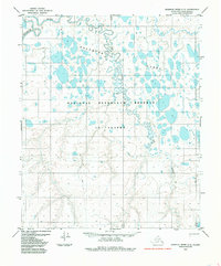
1985 · Ikpikpuk River C-3
USGS Topo · 1:63,360
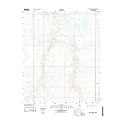
2015 · Ikpikpuk River C-3 SE
USGS Topo · 1:25,000
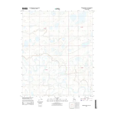
2015 · Ikpikpuk River D-2 SW
USGS Topo · 1:25,000
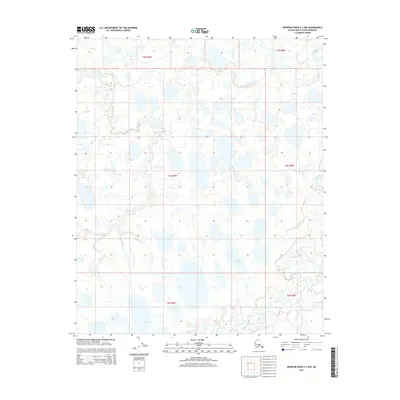
2015 · Ikpikpuk River C-2 NW
USGS Topo · 1:25,000
2015 · Ikpikpuk River C-3 NW
USGS Topo · 1:25,000