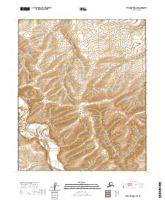
2020 Map of Ikpikpuk River B-3 NW
USGS Topo · Published 2020About this map
Valley of the Willows defines the western terrain of this North Slope landscape, where the Ikpikpuk River winds through the Arctic tundra. The map details a remote section of the National Petroleum Reserve, characterized by intricate contouring that reveals the subtle elevations of the coastal plain. In the southeastern corner, the drainage of Kug Cr cuts through the permafrost-underlain soil, showing the delicate hydrological patterns of the Alaskan wilderness. This 2020 survey is centered on the township boundaries of T1N R12W and T1N R11W, capturing a vast area of roadless territory where natural watercourses are the primary geographical landmarks. The absence of human infrastructure highlights the preservation of the traditional landscape, making it a critical reference for understanding the modern state of this northern environment.
Find a feature on this map
9 named features on this map. Tap any name to fly to it.
Don’t see what you’re looking for? This feature index may not catch every label — zoom into the map to look around manually.
Map Details
Editions of this 2020 Ikpikpuk River B-3 NW Map
This is the sole edition of this map. No revisions or reprints were ever made.
Other maps of this area

1951 · Ikpikpuk River
USGS Topo · 1:250,000

1956 · Ikpikpuk River
USGS Topo · 1:250,000
1985 · Ikpikpuk River B-4
USGS Topo · 1:63,360

1985 · Ikpikpuk River B-3
USGS Topo · 1:63,360
1985 · Ikpikpuk River C-3
USGS Topo · 1:63,360
1985 · Ikpikpuk River C-4
USGS Topo · 1:63,360
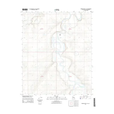
2015 · Ikpikpuk River C-4 SE
USGS Topo · 1:25,000
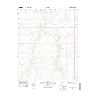
2015 · Ikpikpuk River C-3 SE
USGS Topo · 1:25,000
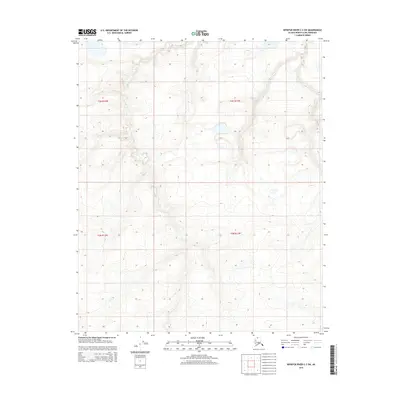
2015 · Ikpikpuk River C-3 SW
USGS Topo · 1:25,000
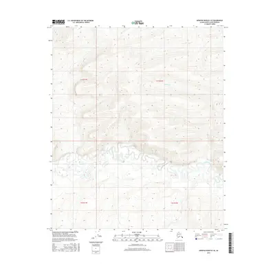
2016 · Ikpikpuk River B-3 SE
USGS Topo · 1:25,000