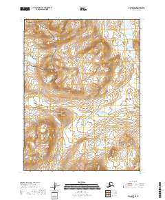
2018 Map of Iliamna A-5 NE
USGS Topo · Published 2018About this map
Katmai National Preserve occupies the northwestern corner of this territory, where the high ridges of the Aleutian Range dictate the movement of water and wilderness travel. The drainage system is defined by the Paint River and its various tributaries, including the N Fork Paint River and the Lake Fork Paint River, which flow through a landscape of extreme elevation changes and glacial activity.
Find a feature on this map
12 named features on this map. Tap any name to fly to it.
Don’t see what you’re looking for? This feature index may not catch every label — zoom into the map to look around manually.
Map Details
Editions of this 2018 Iliamna A-5 NE Map
This is the sole edition of this map. No revisions or reprints were ever made.
Other maps of this area

1951 · Iliamna A-5
USGS Topo · 1:63,360

1951 · Iliamna A-4
USGS Topo · 1:63,360

1951 · Iliamna B-5
USGS Topo · 1:63,360

1952 · Iliamna
USGS Topo · 1:250,000

1952 · Iliamna A-4
USGS Topo · 1:63,360

1952 · Iliamna A-5
USGS Topo · 1:63,360

1954 · Iliamna B-4
USGS Topo · 1:63,360
1954 · Iliamna B-5
USGS Topo · 1:63,360

1957 · Iliamna
USGS Topo · 1:250,000
2018 · Iliamna A-5 NW
USGS Topo · 1:25,000