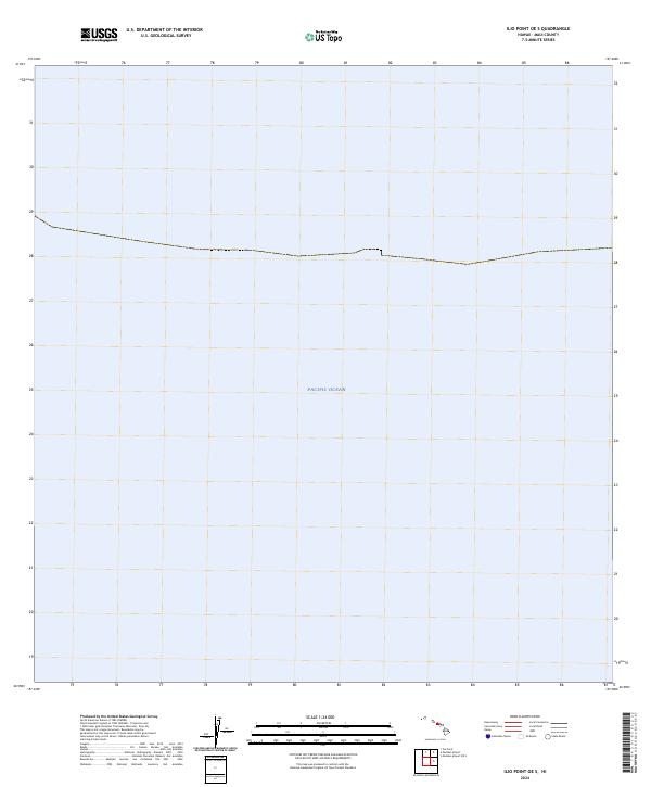
2024 Map of Ilio Point OE S
USGS Topo · Published 2024About this map
The vast expanse of the Pacific Ocean dominates this offshore survey, capturing a remote aquatic section of Maui County north of Molokai. Part of a 2024 series, this sheet focuses almost exclusively on the maritime environment, where the absence of terrestrial elevation data prevents the inclusion of traditional topographic contours. A single line of demarcation across the upper third of the map suggests a significant nautical or administrative boundary within the open sea, reflecting the contemporary mapping of Hawaii's extensive coastal and oceanic territories.
Find a feature on this map
1 named feature on this map. Tap any name to fly to it.
Don’t see what you’re looking for? This feature index may not catch every label — zoom into the map to look around manually.
Map Details
Editions of this 2024 Ilio Point OE S Map
This is the sole edition of this map. No revisions or reprints were ever made.
Other maps of this area

1954 · Maui
USGS Topo · 1:250,000

1966 · Maui
USGS Topo · 1:250,000

1974 · Maui
USGS Topo · 1:250,000
2013 · Ilio Point OE S
USGS Topo · 1:24,000
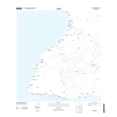
2013 · Ilio Point
USGS Topo · 1:24,000
2013 · Molokai Airport OE S
USGS Topo · 1:24,000
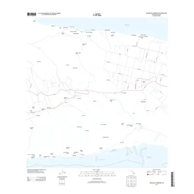
2013 · Molokai Airport
USGS Topo · 1:24,000
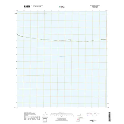
2017 · Ilio Point OE S
USGS Topo · 1:24,000
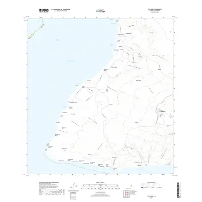
2017 · Ilio Point
USGS Topo · 1:24,000
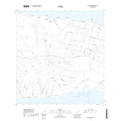
2017 · Molokai Airport
USGS Topo · 1:24,000