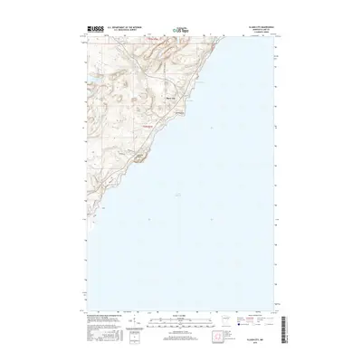
2016 Map of Illgen City
USGS Topo · Published 2016About this map
Illgen City sits at the nexus of the North Shore's dramatic shoreline, where the Baptism River meets Lake Superior after passing over the heights of Illgen Falls. This 2016 survey highlights the rugged transition from the inland highlands down to the water's edge, featuring significant coastal landmarks like the massive cliffs of Palisade Head and the projecting landform of Shovel Point. The topography reveals a landscape shaped by water, from the small interior basins of Nipisiquit Lake and Mignisuit Lake to the protected inlets of Crystal Bay and Belmore Bay.
Find a feature on this map
25 named features on this map. Tap any name to fly to it.
Don’t see what you’re looking for? This feature index may not catch every label — zoom into the map to look around manually.
Map Details
Editions of this 2016 Illgen City Map
This is the sole edition of this map. No revisions or reprints were ever made.
Other maps of this area

1954 · Silver Bay
USGS Topo · 1:62,500

1954 · Two Harbors
USGS Topo · 1:250,000

1956 · Little Marais
USGS Topo · 1:24,000

1956 · Finland
USGS Topo · 1:24,000

1956 · Finland
USGS Topo · 1:62,500

1956 · Illgen City
USGS Topo · 1:24,000

1956 · Split Rock Point
USGS Topo · 1:62,500

1956 · Split Rock Point NE
USGS Topo · 1:24,000

1957 · Two Harbors
USGS Topo · 1:250,000

1958 · Two Harbors
USGS Topo · 1:250,000