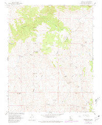
1962 Map of Illinois Hill
USGS Topo · Published 1981About this map
Mining operations define the character of this Mariposa County landscape, where the foothills are etched with a high density of named claims and historical extraction sites. The concentration of workings, including the Pocahontas Mine, Great Northern Mine, and the Klondike Mine, speaks to the region's intense mineral exploration that continued through the mid-20th century. Terrain features like Illinois Hill and Cow and Calf Mtn rise above a drainage system fed by Mariposa Creek and White Rock Creek, while the presence of the White Rock Cem and White Rock Fire Control Sta provides a window into the small community infrastructure that supported the local population. Along the southern reaches, more isolated operations such as the San Jose Mine and Goodview Mine are accessible by a network of unimproved roads and the Preston Road, marking a transition toward the open lands near Dutchman Creek.
Find a feature on this map
31 named features on this map. Tap any name to fly to it.
Don’t see what you’re looking for? This feature index may not catch every label — zoom into the map to look around manually.
Map Details
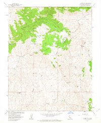
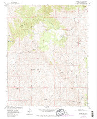
Editions of this 1962 Illinois Hill Map
3 editions found
Other maps of this area

1912 · Mariposa
USGS Topo · 1:125,000

1915 · Owens Creek
USGS Topo · 1:31,680

1918 · Owens Creek
USGS Topo · 1:31,680

1918 · La Grand
USGS Topo · 1:31,680

1919 · Indian Gulch
USGS Topo · 1:48,000

1919 · Raynor Creek
USGS Topo · 1:31,680

1920 · Indian Gulch
USGS Topo · 1:62,500

1942 · Raymond
USGS Topo · 1:62,500

1944 · Raymond
USGS Topo · 1:62,500
1946 · Le Grand
USGS Topo · 1:62,500