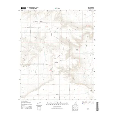
2013 Map of Ima
USGS Topo · Published 2013About this map
The settlement of Ima and the nearby Merrill Ranch define the human footprint on this high-plains landscape in eastern New Mexico. Situated along NM-156, the terrain transitions from the open stretches of Ogle Flat and West Flat into a complex system of drainage and erosion. The map reveals the intricate geography of the Alamogordo Valley and the prominent Luciano Mesa, where numerous canyons like Sunflower Canyon and Lobley Canyon have carved deep paths toward the surrounding lowlands.
Find a feature on this map
31 named features on this map. Tap any name to fly to it.
Don’t see what you’re looking for? This feature index may not catch every label — zoom into the map to look around manually.
Map Details
Editions of this 2013 Ima Map
This is the sole edition of this map. No revisions or reprints were ever made.
Other maps of this area
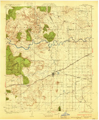
1930 · Tucumcari
USGS Topo · 1:125,000
1954 · Santa Fe
USGS Topo · 1:250,000

1954 · Fort Sumner
USGS Topo · 1:250,000
1954 · Tucumcari
USGS Topo · 1:250,000

1954 · Clovis
USGS Topo · 1:250,000

1958 · Fort Sumner
USGS Topo · 1:250,000
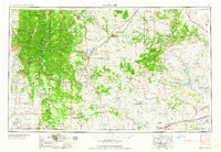
1958 · Santa Fe
USGS Topo · 1:250,000

1958 · Clovis
USGS Topo · 1:250,000
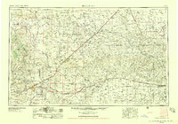
1958 · Tucumcari
USGS Topo · 1:250,000
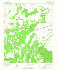
1964 · Gate Canyon
USGS Topo · 1:24,000