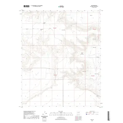
2020 Map of Ima
USGS Topo · Published 2020About this map
Ima serves as the central reference point for this portion of Quay County, where the high plains of Eastern New Mexico transition into a landscape of deeply cut canyons and mesas. The terrain is defined by the drainage systems of Alamogordo Cr and Charco Cr, which carve through the prominent Luciano Mesa and Alamogordo Valley. This area is characterized by numerous named landforms reflecting local history and geography, such as Sunflower Canyon, Petes Canyon, and Taylor Canyon.
Find a feature on this map
25 named features on this map. Tap any name to fly to it.
Don’t see what you’re looking for? This feature index may not catch every label — zoom into the map to look around manually.
Map Details
Editions of this 2020 Ima Map
This is the sole edition of this map. No revisions or reprints were ever made.
Other maps of this area

1930 · Tucumcari
USGS Topo · 1:125,000

1954 · Santa Fe
USGS Topo · 1:250,000

1954 · Fort Sumner
USGS Topo · 1:250,000

1954 · Tucumcari
USGS Topo · 1:250,000

1954 · Clovis
USGS Topo · 1:250,000

1958 · Fort Sumner
USGS Topo · 1:250,000

1958 · Santa Fe
USGS Topo · 1:250,000

1958 · Clovis
USGS Topo · 1:250,000

1958 · Tucumcari
USGS Topo · 1:250,000

1964 · Gate Canyon
USGS Topo · 1:24,000