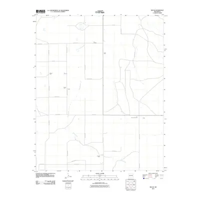
2010 Map of Ima SE
USGS Topo · Published 2010About this map
Alamosa Creek winds through this high-plains landscape in eastern New Mexico, providing the primary geographic orientation for a region defined by its ranching heritage. The map documents a sparse but established network of family-held lands, including the Sparks Ranch, Williams Ranch, and Peacock Ranch. These names reflect the enduring agricultural character of Quay County in the early twenty-first century. Social and civic life in this rural area is anchored by landmarks such as the Ima Community House and the Ima Cemetery, which serve as vital points of reference for local genealogy and regional history. Small named locations like Peacock, Northcutt, and Krilling are tied together by a geometric grid of local thoroughfares, such as Quay Road 37 and Quay Road Blvd, illustrating how modern infrastructure follows the early section lines of the territory.
Find a feature on this map
22 named features on this map. Tap any name to fly to it.
Don’t see what you’re looking for? This feature index may not catch every label — zoom into the map to look around manually.
Map Details
Editions of this 2010 Ima SE Map
This is the sole edition of this map. No revisions or reprints were ever made.
Other maps of this area

1954 · Fort Sumner
USGS Topo · 1:250,000

1954 · Clovis
USGS Topo · 1:250,000

1958 · Fort Sumner
USGS Topo · 1:250,000

1958 · Clovis
USGS Topo · 1:250,000
1968 · Hassell
USGS Topo · 1:24,000
1968 · Twin Mesa NW
USGS Topo · 1:24,000
1968 · Ima SE
USGS Topo · 1:24,000
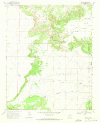
1968 · Ima NW
USGS Topo · 1:24,000
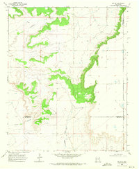
1968 · Ima SW
USGS Topo · 1:24,000
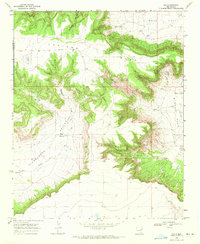
1968 · Ima
USGS Topo · 1:24,000