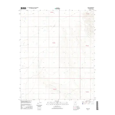
2017 Map of Ima SE
USGS Topo · Published 2017About this map
Ima Cem sits in the northern reaches of this Quay County landscape, serving as a quiet focal point for local history amidst the sectioned ranchlands of eastern New Mexico. The terrain is defined by the drainage patterns of Alamosa Cr, which cuts through the southern portion of the quadrangle. This area preserves a grid of rural county roads, including Q R 41 and Q R Bl, that follow the township and range lines established long before the modern era. The spatial arrangement of these roads, such as Qr 37 and Q R Bj, reflects a strictly organized land use pattern typical of high plains settlement. These routes provide access to the expansive grazing lands across T7N R27E and surrounding townships, where the elevation gradually shifts across open breaks and seasonal watercourses.
Find a feature on this map
15 named features on this map. Tap any name to fly to it.
Don’t see what you’re looking for? This feature index may not catch every label — zoom into the map to look around manually.
Map Details
Editions of this 2017 Ima SE Map
This is the sole edition of this map. No revisions or reprints were ever made.
Other maps of this area

1954 · Fort Sumner
USGS Topo · 1:250,000

1954 · Clovis
USGS Topo · 1:250,000

1958 · Fort Sumner
USGS Topo · 1:250,000

1958 · Clovis
USGS Topo · 1:250,000
1968 · Hassell
USGS Topo · 1:24,000
1968 · Twin Mesa NW
USGS Topo · 1:24,000
1968 · Ima SE
USGS Topo · 1:24,000
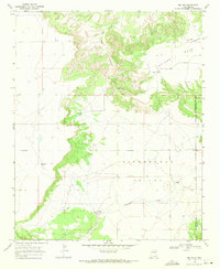
1968 · Ima NW
USGS Topo · 1:24,000
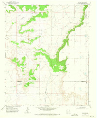
1968 · Ima SW
USGS Topo · 1:24,000
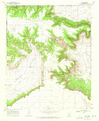
1968 · Ima
USGS Topo · 1:24,000