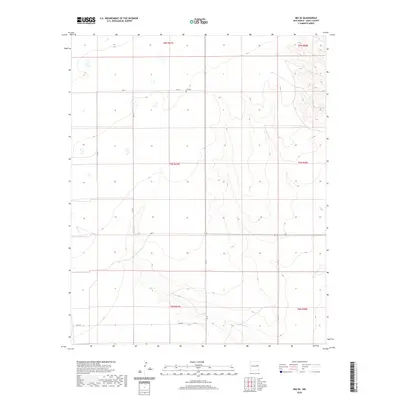
2020 Map of Ima SE
USGS Topo · Published 2020About this map
Ima Cem is the primary cultural landmark in this section of Quay County, offering a tangible connection to the early families of this high-plains region. The landscape is defined by the ephemeral winding of Alamosa Cr, which carves through the local topography as it flows toward the southeast. The township and range lines of the Public Land Survey System organize the territory into a strict grid, and the naming conventions for the thoroughfares, such as Q R 41, Q R Bl, and Q R Bj, reflect the systematic development of the modern county road network. The interaction between these surveyed lines and the natural contours of the creek bed illustrates the ongoing human effort to manage and traverse this arid New Mexico terrain.
Find a feature on this map
15 named features on this map. Tap any name to fly to it.
Don’t see what you’re looking for? This feature index may not catch every label — zoom into the map to look around manually.
Map Details
Editions of this 2020 Ima SE Map
This is the sole edition of this map. No revisions or reprints were ever made.
Other maps of this area

1954 · Fort Sumner
USGS Topo · 1:250,000

1954 · Clovis
USGS Topo · 1:250,000

1958 · Fort Sumner
USGS Topo · 1:250,000

1958 · Clovis
USGS Topo · 1:250,000

1968 · Hassell
USGS Topo · 1:24,000

1968 · Twin Mesa NW
USGS Topo · 1:24,000

1968 · Ima SE
USGS Topo · 1:24,000
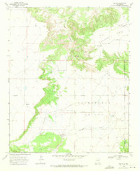
1968 · Ima NW
USGS Topo · 1:24,000
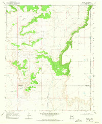
1968 · Ima SW
USGS Topo · 1:24,000
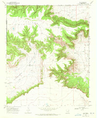
1968 · Ima
USGS Topo · 1:24,000