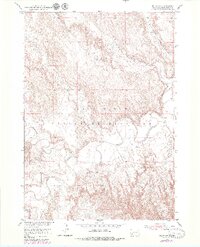
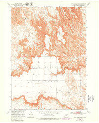
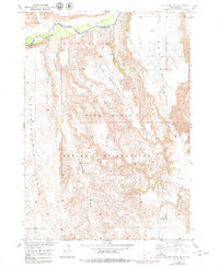
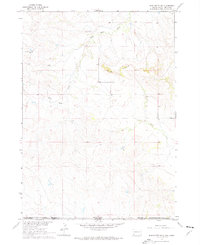
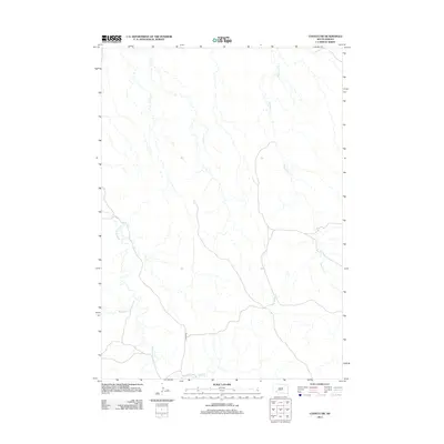
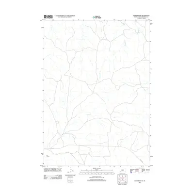
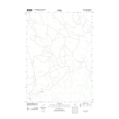
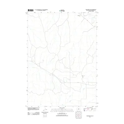
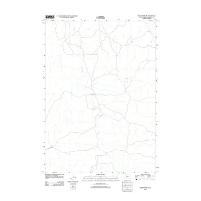
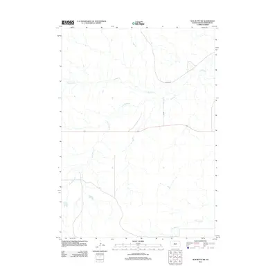
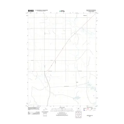
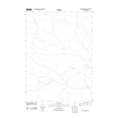
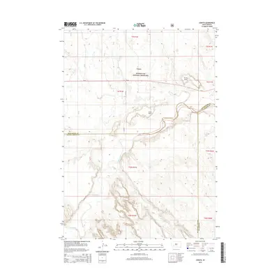
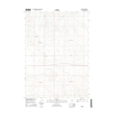
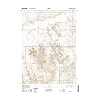
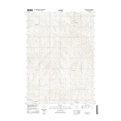
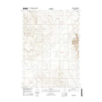
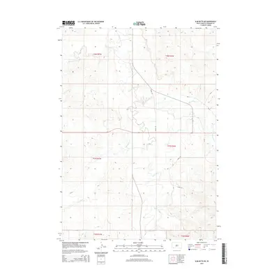
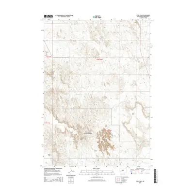
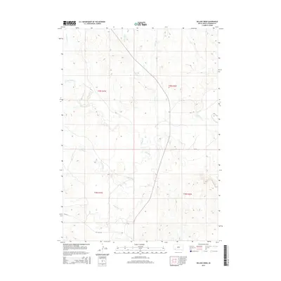
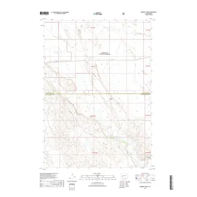
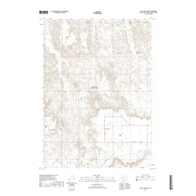
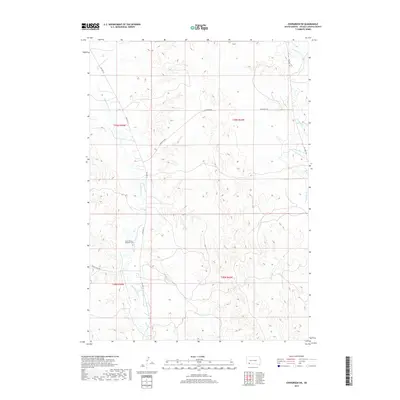
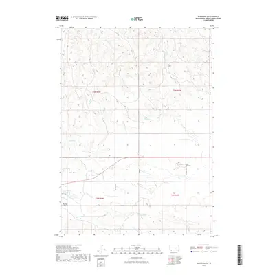
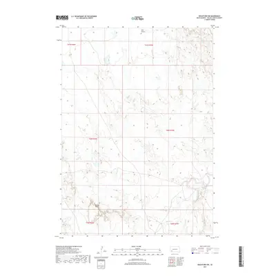
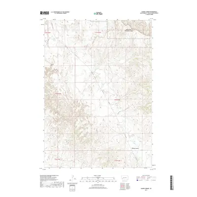
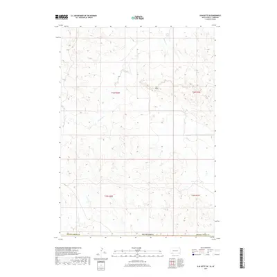
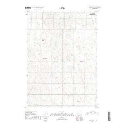
1950 Map of Imlay SW
USGS Topo · Published 1957About this map
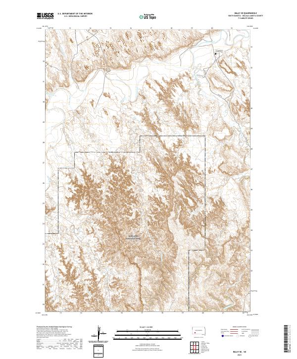
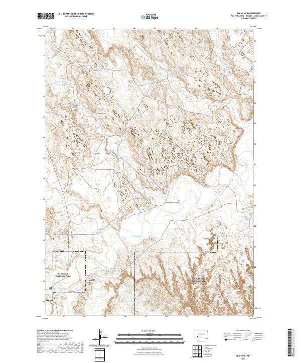
The White River carves a deep, winding path through this portion of the Pine Ridge Indian Reservation, where the landscape is defined by the sharp transition between tablelands and the braided river bottom. This 1950s era documentation, with later revisions in the 1970s, captures a rural landscape where drainage patterns like Big Hollow Creek and Wind Creek converge toward the main river valley. A significant genealogical marker is found at the St Mary Magdalene Cem located in the southwestern corner near the mouth of Porcupine Creek. The map illustrates the complex badlands topography typical of this region, with numerous ephemeral streams such as Cottonwood Creek and Spring Creek dissecting the high plains. The lack of formal town sites emphasizes the remote, pastoral character of the reservation during the mid-20th century.
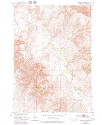
Find a feature on this map
10 named features on this map. Tap any name to fly to it.
Don’t see what you’re looking for? This feature index may not catch every label — zoom into the map to look around manually.
Map Details
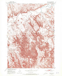
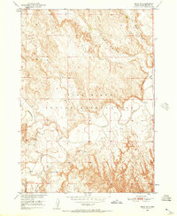
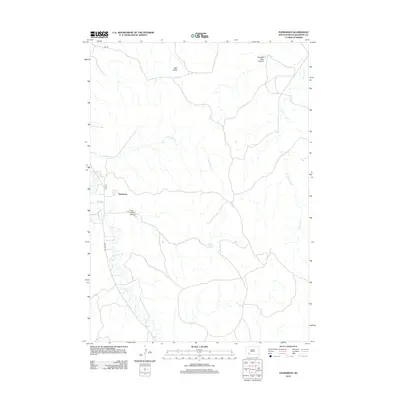
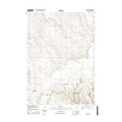
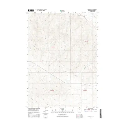
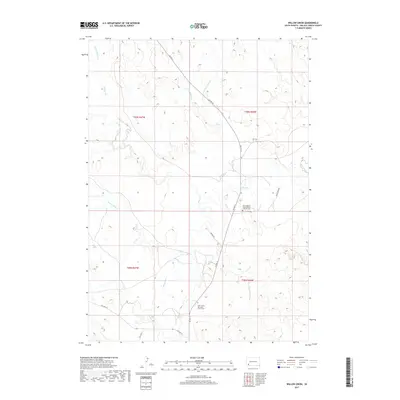
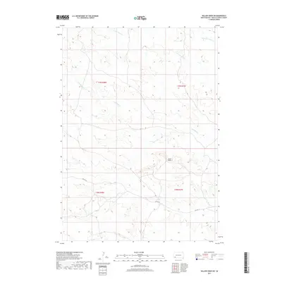
Editions of this 1950 Imlay SW Map
3 editions found
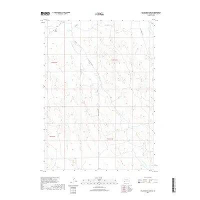
Historical Maps of Porcupine Through Time
165 maps found

1950 Bouquet Table
Oglala Lakota County, SD
1950 Conata
Oglala Lakota County, SD
1950 Conata SW
Oglala Lakota County, SD
1950 Cuny Table East
Oglala Lakota County, SD
1950 Imlay SE
Oglala Lakota County, SD
1950 Imlay SW
Oglala Lakota County, SD

1950 Stirk Table
Oglala Lakota County, SD
1951 Cuny Table West
Oglala Lakota County, SD
1951 Red Shirt SW
Oglala Lakota County, SD

1951 Rockyford NW
Oglala Lakota County, SD

1951 Rockyford
Oglala Lakota County, SD

1951 Rockyford SE
Oglala Lakota County, SD

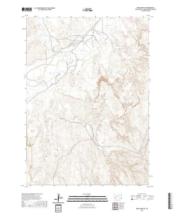
1951 Rockyford SW
Oglala Lakota County, SD
1951 Sharps Corner
Oglala Lakota County, SD

1951 Willow Creek NE
Oglala Lakota County, SD

1951 Willow Creek NW
Oglala Lakota County, SD

1952 Bouquet Table
Oglala Lakota County, SD

1952 Conata
Oglala Lakota County, SD

1967 Denby
Oglala Lakota County, SD

1967 Manderson
Oglala Lakota County, SD
1967 Manderson SW
Oglala Lakota County, SD

1967 Pine Ridge NE
Oglala Lakota County, SD
1967 Pine Ridge SW
Oglala Lakota County, SD

1967 Slim Butte NE
Oglala Lakota County, SD

1967 Slim Butte NW
Oglala Lakota County, SD

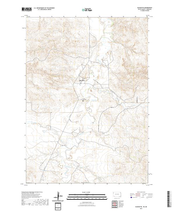
1967 Slim Butte
Oglala Lakota County, SD
1967 Slim Butte SW
Oglala Lakota County, SD

1967 Willow Creek
Oglala Lakota County, SD

1967 Willow Creek SW
Oglala Lakota County, SD

1981 Evergreen NE
Oglala Lakota County, SD

1981 Evergreen
Oglala Lakota County, SD

1981 Wakpamani
Oglala Lakota County, SD

1981 Yellow Bear Camp
Oglala Lakota County, SD
2012 Batesland NW
Oglala Lakota County, SD
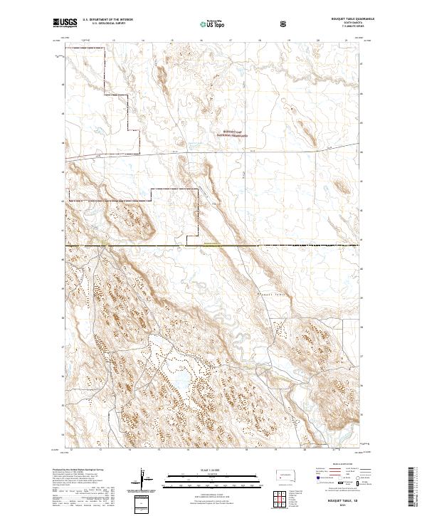
2012 Bouquet Table
Oglala Lakota County, SD
2012 Conata
Oglala Lakota County, SD
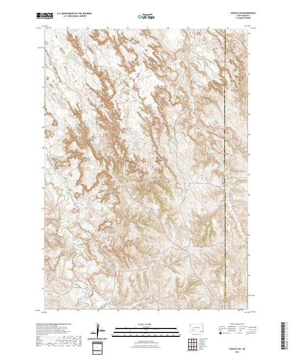
2012 Conata SW
Oglala Lakota County, SD
2012 Cuny Table East
Oglala Lakota County, SD
2012 Cuny Table West
Oglala Lakota County, SD
2012 Denby
Oglala Lakota County, SD
2012 Evergreen NE
Oglala Lakota County, SD
2012 Evergreen
Oglala Lakota County, SD
2012 Evergreen SW
Oglala Lakota County, SD
2012 Imlay SE
Oglala Lakota County, SD
2012 Imlay SW
Oglala Lakota County, SD
2012 Manderson
Oglala Lakota County, SD
2012 Manderson SW
Oglala Lakota County, SD
2012 Pine Ridge NE
Oglala Lakota County, SD
2012 Pine Ridge SW
Oglala Lakota County, SD
2012 Red Shirt SW
Oglala Lakota County, SD
2012 Rockyford NW
Oglala Lakota County, SD
2012 Rockyford
Oglala Lakota County, SD
2012 Rockyford SE
Oglala Lakota County, SD
2012 Rockyford SW
Oglala Lakota County, SD
2012 Sharps Corner
Oglala Lakota County, SD
2012 Slim Butte NE
Oglala Lakota County, SD
2012 Slim Butte NW
Oglala Lakota County, SD
2012 Slim Butte
Oglala Lakota County, SD
2012 Slim Butte SW
Oglala Lakota County, SD
2012 Stirk Table
Oglala Lakota County, SD
2012 Wakpamani
Oglala Lakota County, SD
2012 Willow Creek NE
Oglala Lakota County, SD
2012 Willow Creek NW
Oglala Lakota County, SD
2012 Willow Creek
Oglala Lakota County, SD
2012 Willow Creek SW
Oglala Lakota County, SD
2012 Yellow Bear Camp SW
Oglala Lakota County, SD
2015 Batesland NW
Oglala Lakota County, SD
2015 Bouquet Table
Oglala Lakota County, SD
2015 Conata
Oglala Lakota County, SD
2015 Conata SW
Oglala Lakota County, SD
2015 Cuny Table East
Oglala Lakota County, SD
2015 Cuny Table West
Oglala Lakota County, SD
2015 Denby
Oglala Lakota County, SD
2015 Evergreen NE
Oglala Lakota County, SD
2015 Evergreen
Oglala Lakota County, SD
2015 Evergreen SW
Oglala Lakota County, SD
2015 Imlay SE
Oglala Lakota County, SD
2015 Imlay SW
Oglala Lakota County, SD
2015 Manderson
Oglala Lakota County, SD
2015 Manderson SW
Oglala Lakota County, SD
2015 Pine Ridge NE
Oglala Lakota County, SD
2015 Pine Ridge SW
Oglala Lakota County, SD
2015 Red Shirt SW
Oglala Lakota County, SD
2015 Rockyford NW
Oglala Lakota County, SD
2015 Rockyford
Oglala Lakota County, SD
2015 Rockyford SE
Oglala Lakota County, SD
2015 Rockyford SW
Oglala Lakota County, SD
2015 Sharps Corner
Oglala Lakota County, SD
2015 Slim Butte NE
Oglala Lakota County, SD
2015 Slim Butte NW
Oglala Lakota County, SD
2015 Slim Butte
Oglala Lakota County, SD
2015 Slim Butte SW
Oglala Lakota County, SD
2015 Stirk Table
Oglala Lakota County, SD
2015 Wakpamani
Oglala Lakota County, SD
2015 Willow Creek NE
Oglala Lakota County, SD
2015 Willow Creek NW
Oglala Lakota County, SD
2015 Willow Creek
Oglala Lakota County, SD
2015 Willow Creek SW
Oglala Lakota County, SD
2015 Yellow Bear Camp SW
Oglala Lakota County, SD
2017 Batesland NW
Oglala Lakota County, SD
2017 Bouquet Table
Oglala Lakota County, SD
2017 Conata
Oglala Lakota County, SD
2017 Conata SW
Oglala Lakota County, SD
2017 Cuny Table East
Oglala Lakota County, SD
2017 Cuny Table West
Oglala Lakota County, SD
2017 Denby
Oglala Lakota County, SD
2017 Evergreen NE
Oglala Lakota County, SD
2017 Evergreen
Oglala Lakota County, SD
2017 Evergreen SW
Oglala Lakota County, SD
2017 Imlay SE
Oglala Lakota County, SD
2017 Imlay SW
Oglala Lakota County, SD
2017 Manderson
Oglala Lakota County, SD
2017 Manderson SW
Oglala Lakota County, SD
2017 Pine Ridge NE
Oglala Lakota County, SD
2017 Pine Ridge SW
Oglala Lakota County, SD
2017 Red Shirt SW
Oglala Lakota County, SD
2017 Rockyford NW
Oglala Lakota County, SD
2017 Rockyford
Oglala Lakota County, SD
2017 Rockyford SE
Oglala Lakota County, SD
2017 Rockyford SW
Oglala Lakota County, SD
2017 Sharps Corner
Oglala Lakota County, SD
2017 Slim Butte NE
Oglala Lakota County, SD
2017 Slim Butte NW
Oglala Lakota County, SD
2017 Slim Butte
Oglala Lakota County, SD
2017 Slim Butte SW
Oglala Lakota County, SD
2017 Stirk Table
Oglala Lakota County, SD
2017 Wakpamani
Oglala Lakota County, SD
2017 Willow Creek NE
Oglala Lakota County, SD
2017 Willow Creek NW
Oglala Lakota County, SD
2017 Willow Creek
Oglala Lakota County, SD
2017 Willow Creek SW
Oglala Lakota County, SD
2017 Yellow Bear Camp SW
Oglala Lakota County, SD

2021 Batesland NW
Oglala Lakota County, SD
2021 Bouquet Table
Oglala Lakota County, SD

2021 Conata
Oglala Lakota County, SD
2021 Conata SW
Oglala Lakota County, SD
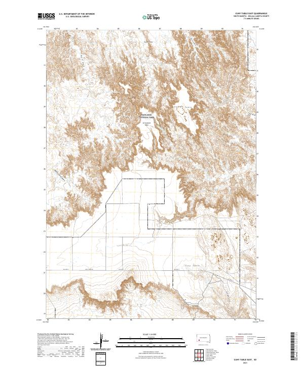
2021 Cuny Table East
Oglala Lakota County, SD
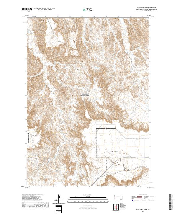
2021 Cuny Table West
Oglala Lakota County, SD
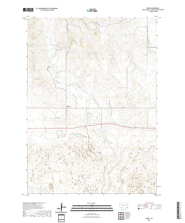
2021 Denby
Oglala Lakota County, SD
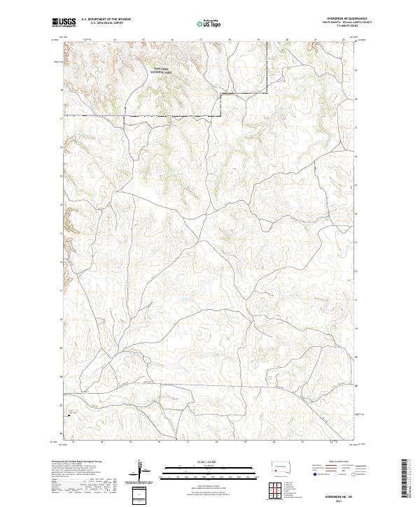
2021 Evergreen NE
Oglala Lakota County, SD
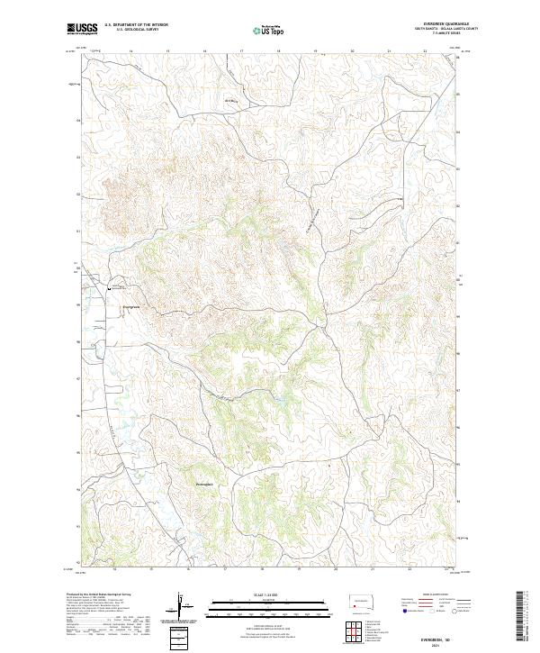
2021 Evergreen
Oglala Lakota County, SD
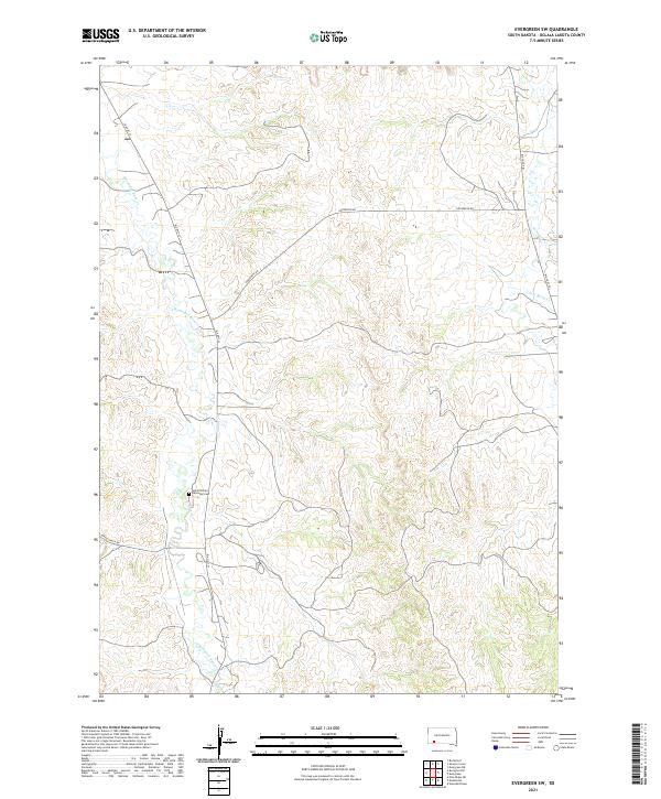
2021 Evergreen SW
Oglala Lakota County, SD
2021 Imlay SE
Oglala Lakota County, SD
2021 Imlay SW
Oglala Lakota County, SD

2021 Manderson
Oglala Lakota County, SD
2021 Manderson SW
Oglala Lakota County, SD

2021 Pine Ridge NE
Oglala Lakota County, SD
2021 Pine Ridge SW
Oglala Lakota County, SD
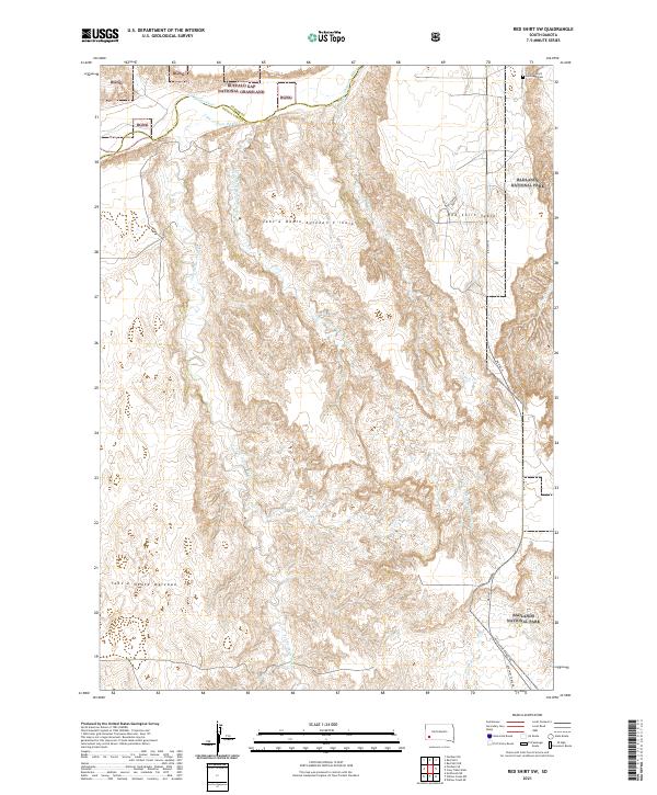
2021 Red Shirt SW
Oglala Lakota County, SD
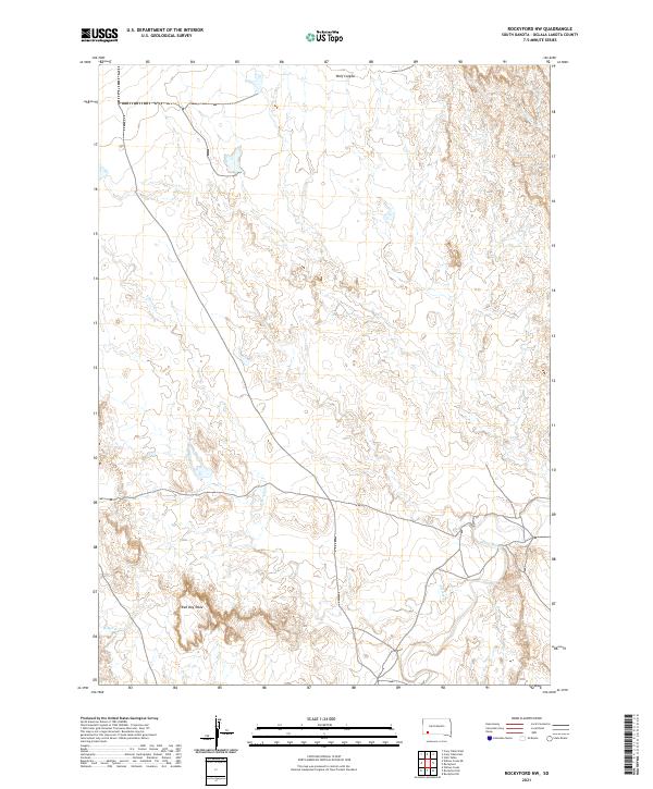
2021 Rockyford NW
Oglala Lakota County, SD
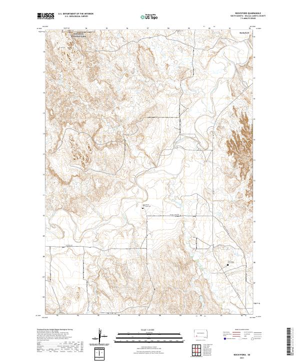
2021 Rockyford
Oglala Lakota County, SD
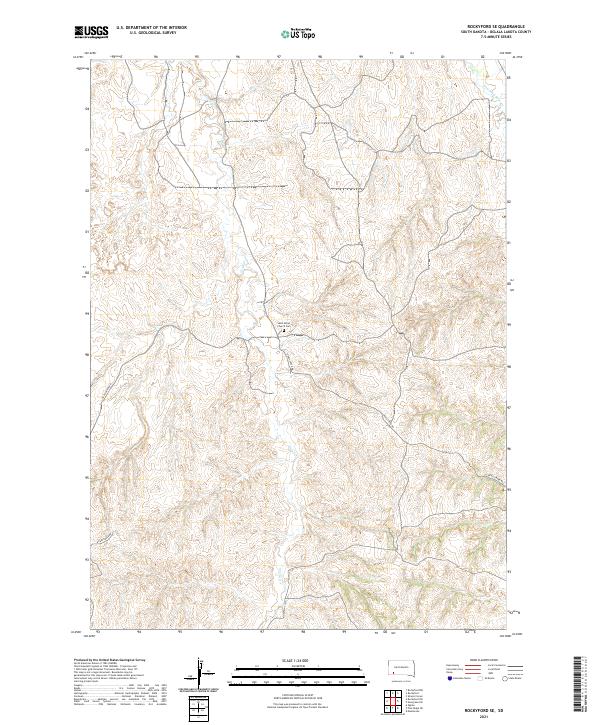
2021 Rockyford SE
Oglala Lakota County, SD
2021 Rockyford SW
Oglala Lakota County, SD
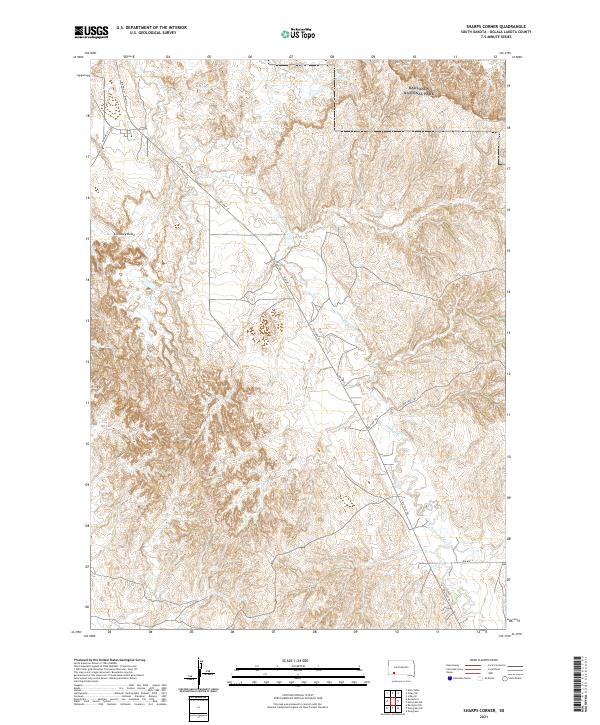
2021 Sharps Corner
Oglala Lakota County, SD
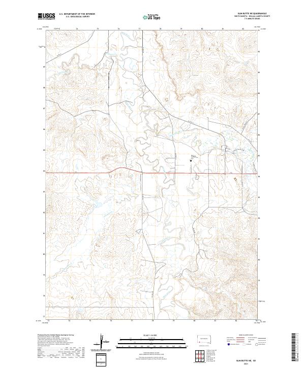
2021 Slim Butte NE
Oglala Lakota County, SD
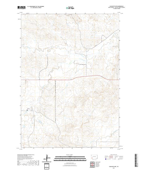
2021 Slim Butte NW
Oglala Lakota County, SD
2021 Slim Butte
Oglala Lakota County, SD
2021 Slim Butte SW
Oglala Lakota County, SD
2021 Stirk Table
Oglala Lakota County, SD

2021 Wakpamani
Oglala Lakota County, SD
2021 Willow Creek NE
Oglala Lakota County, SD
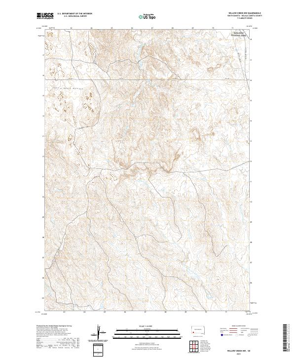
2021 Willow Creek NW
Oglala Lakota County, SD
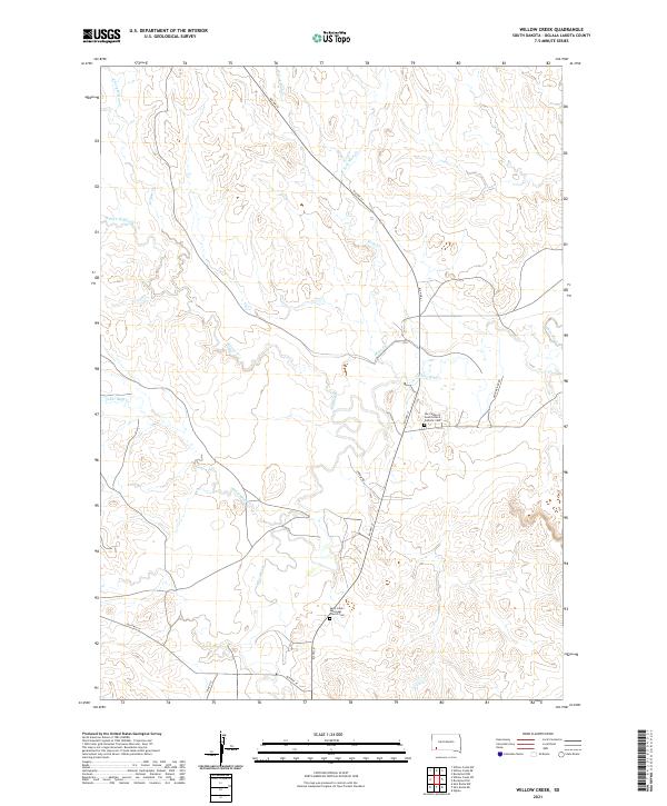
2021 Willow Creek
Oglala Lakota County, SD
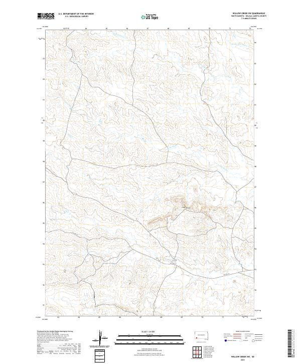
2021 Willow Creek SW
Oglala Lakota County, SD
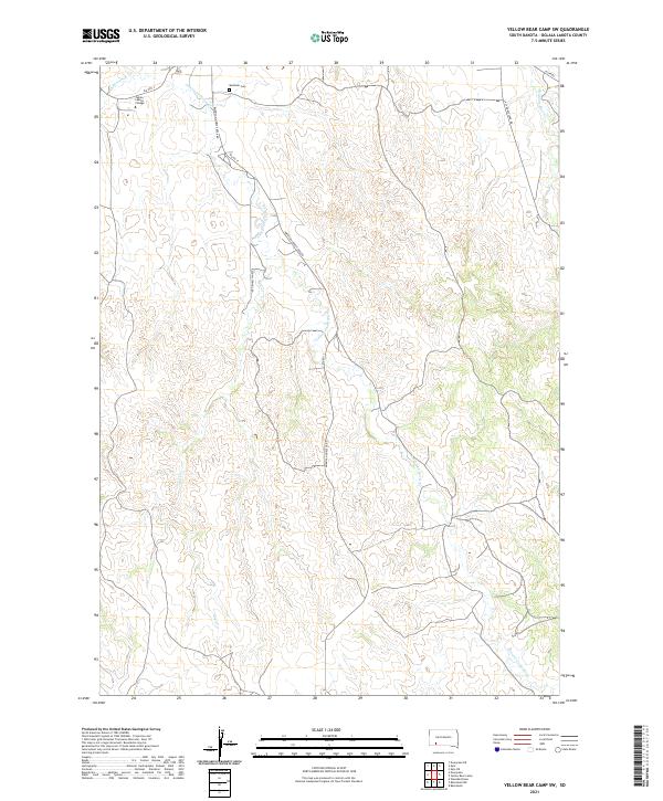
2021 Yellow Bear Camp SW
Oglala Lakota County, SD