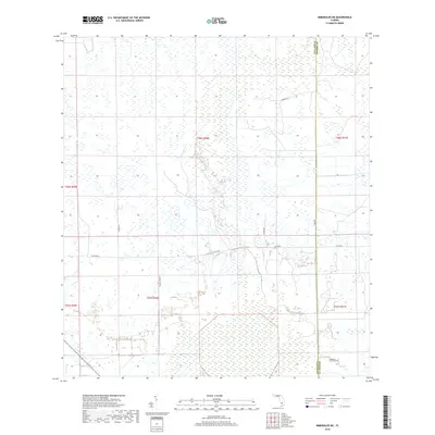
2018 Map of Immokalee NE
USGS Topo · Published 2018About this map
The boundary between Collier and Hendry counties runs vertically through this section of South Florida, marking a transition in the rural landscape. The area is defined by a sparse network of local routes, primarily Co Rd 846 and Co Rd 858, which support agricultural activity and land management. The presence of named tracks like Thomas Farm Rd and Medfarms Pvt suggests a landscape dedicated to large-scale farming and private landholdings. This survey captures the region's characteristic flat terrain, where drainage and access roads like Thorpe Rd and Dupree Rd are essential for navigating the interior wetlands and managed fields of the Florida Everglades hinterland.
Find a feature on this map
13 named features on this map. Tap any name to fly to it.
Don’t see what you’re looking for? This feature index may not catch every label — zoom into the map to look around manually.
Map Details
Editions of this 2018 Immokalee NE Map
This is the sole edition of this map. No revisions or reprints were ever made.
Other maps of this area

1956 · West Palm Beach
USGS Topo · 1:250,000

1957 · West Palm Beach
USGS Topo · 1:250,000

1958 · West Palm Beach
USGS Topo · 1:250,000
1958 · Felda SE
USGS Topo · 1:24,000
1958 · Immokalee
USGS Topo · 1:24,000
1958 · Felda
USGS Topo · 1:24,000
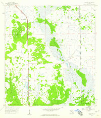
1958 · Sunniland
USGS Topo · 1:24,000
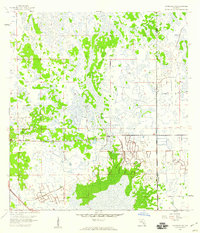
1958 · Immokalee NE
USGS Topo · 1:24,000
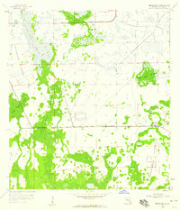
1958 · Immokalee SW
USGS Topo · 1:24,000
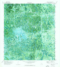
1971 · La Belle 4 SW
USGS Topo · 1:24,000