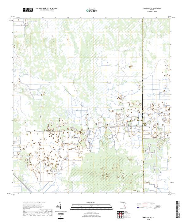
2024 Map of Immokalee NE
USGS Topo · Published 2024About this map
Wetlands and agricultural networks define this portion of the Florida interior along the border between Collier Co and Hendry Co. The landscape is dominated by a systematic grid of section lines and drainage patterns, with transportation corridors like Co RD 846 and Co RD 858 providing the primary access through the region. Local activity is concentrated along several rural routes, including Thomas Farm Rd and Thorpe Rd, which reflect the agricultural development of the area.
Find a feature on this map
13 named features on this map. Tap any name to fly to it.
Don’t see what you’re looking for? This feature index may not catch every label — zoom into the map to look around manually.
Map Details
Editions of this 2024 Immokalee NE Map
This is the sole edition of this map. No revisions or reprints were ever made.
Other maps of this area

1956 · West Palm Beach
USGS Topo · 1:250,000

1957 · West Palm Beach
USGS Topo · 1:250,000

1958 · West Palm Beach
USGS Topo · 1:250,000

1958 · Felda SE
USGS Topo · 1:24,000

1958 · Immokalee
USGS Topo · 1:24,000

1958 · Felda
USGS Topo · 1:24,000

1958 · Sunniland
USGS Topo · 1:24,000

1958 · Immokalee NE
USGS Topo · 1:24,000

1958 · Immokalee SW
USGS Topo · 1:24,000

1971 · La Belle 4 SW
USGS Topo · 1:24,000