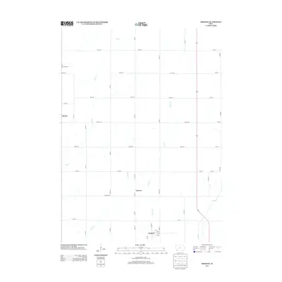
2013 Map of Imogene
USGS Topo · Published 2013About this map
Imogene serves as a focal point for this section of Fremont County, where a structured grid of agricultural roads like Waubonsie Ave and Marh Ave define the landscape. The town site itself is situated along Railroad St, reflecting its historical reliance on rail transportation for moving local harvests. Nearby, the smaller settlements of Strahan and Solomon anchor the rural community amidst a network of prairie waterways. Drainage in this region is defined by the winding paths of Deer Cr, Honey Cr, and Hunter Br, which cut through the square sections of farmland. The regularity of the road names, from Minard Ave to Rains Ave, indicates a highly organized township system designed for efficient access to the vast acreage that surrounds these quiet Iowa villages.
Find a feature on this map
46 named features on this map. Tap any name to fly to it.
Don’t see what you’re looking for? This feature index may not catch every label — zoom into the map to look around manually.
Map Details
Editions of this 2013 Imogene Map
This is the sole edition of this map. No revisions or reprints were ever made.
Other maps of this area

1954 · Omaha
USGS Topo · 1:250,000

1955 · Nebraska City
USGS Topo · 1:250,000

1956 · Malvern
USGS Topo · 1:24,000

1957 · Nebraska City
USGS Topo · 1:250,000

1957 · Omaha
USGS Topo · 1:250,000

1957 · Randolph
USGS Topo · 1:24,000

1957 · Tabor NE
USGS Topo · 1:24,000

1958 · Omaha
USGS Topo · 1:250,000

1958 · Nebraska City
USGS Topo · 1:250,000

1978 · Shenandoah East
USGS Topo · 1:24,000