
1957 Map of Randolph
USGS Topo · Published 1958About this map
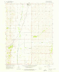
The West Nishnabotna River carves a wide valley through the Fremont County landscape, flanked by an extensive Levee system designed to manage the floodplain. This late-1950s survey documents a rural Iowa community in transition, most notably marked by the closure of its local country schools. The rural education landscape of Riverside and Prairie townships is captured here just as the Mayflower Sch (Abandoned), Riverside Sch (Abandoned), and Center Sch (Abandoned) were being left behind.
Find a feature on this map
19 named features on this map. Tap any name to fly to it.
Don’t see what you’re looking for? This feature index may not catch every label — zoom into the map to look around manually.
Map Details
Editions of this 1957 Randolph Map
2 editions found
Other maps of this area

1939 · Farragut
USGS Topo · 1:62,500

1939 · Hamburg
USGS Topo · 1:62,500

1940 · Farragut
USGS Topo · 1:62,500

1941 · Hamburg
USGS Topo · 1:62,500

1955 · Nebraska City
USGS Topo · 1:250,000

1957 · Nebraska City
USGS Topo · 1:250,000

1957 · Tabor
USGS Topo · 1:24,000

1957 · Tabor NE
USGS Topo · 1:24,000

1957 · Tabor SW
USGS Topo · 1:24,000

1958 · Nebraska City
USGS Topo · 1:250,000