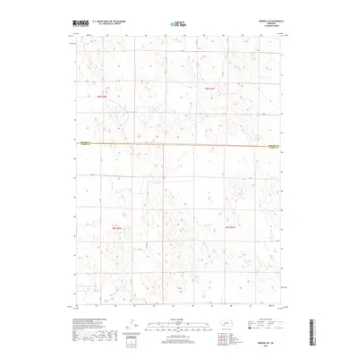
2017 Map of Imperial NE
USGS Topo · Published 2017About this map
The boundary between Perkins Co Chase Co defines this remote stretch of the Nebraska plains, where the high prairie is organized by a precise grid of sectional roads. This landscape represents the modern evolution of the Public Land Survey System, featuring township markers such as t9n r37w and t8n r38w. The terrain is characterized by subtle depressions and small wetlands typical of this region, undisturbed by major settlements or heavy industry. Local transportation is managed through a network of numbered thoroughfares, including 334 Ave, 342 Ave, and 745 Rd. These rural corridors serve the agricultural holdings that have shaped this portion of the state for generations, providing essential access to the vast open sections between the high plains and the Platte river valley to the north.
Find a feature on this map
17 named features on this map. Tap any name to fly to it.
Don’t see what you’re looking for? This feature index may not catch every label — zoom into the map to look around manually.
Map Details
Editions of this 2017 Imperial NE Map
This is the sole edition of this map. No revisions or reprints were ever made.
Other maps of this area

1954 · McCook
USGS Topo · 1:250,000

1957 · McCook
USGS Topo · 1:250,000

1958 · McCook
USGS Topo · 1:250,000
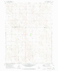
1973 · Imperial NE
USGS Topo · 1:24,000
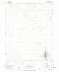
1973 · Imperial
USGS Topo · 1:24,000
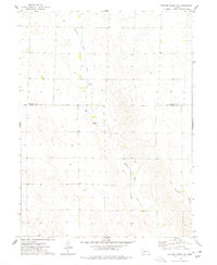
1973 · Dittons Creek NW
USGS Topo · 1:24,000
1973 · Grant
USGS Topo · 1:24,000
1973 · Imperial NW
USGS Topo · 1:24,000
1973 · Elsie
USGS Topo · 1:24,000
1973 · Imperial Municipal Airport
USGS Topo · 1:24,000