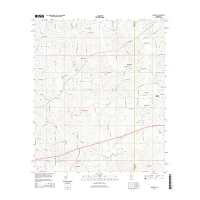
2015 Map of Improve
USGS Topo · Published 2015About this map
Improve and Hopewell sit within a landscape of winding country lanes and creek-fed valleys along the border of Marion and Lamar Counties. This portion of Mississippi is defined by its numerous family and community burial grounds, such as Rose Hill Cem and Stringer Cem, which serve as vital markers for genealogical research. The terrain is deeply etched by a network of waterways including Upper Little Cr, Gully Cr, and Beaver Dam Cr, illustrating the area's natural drainage patterns into the Pearl River basin. In the south, the settlement of Enon is located near Enon Cem and the Thompson Cr drainage. Significant landmarks like Baylis Chapel Cem and Old Rocky Branch Cem near the Rocky Branch terrain feature provide concrete points of interest for local historians tracing early settlement patterns in this rural interior.
Find a feature on this map
116 named features on this map. Tap any name to fly to it.
Don’t see what you’re looking for? This feature index may not catch every label — zoom into the map to look around manually.
Map Details
Editions of this 2015 Improve Map
This is the sole edition of this map. No revisions or reprints were ever made.
Other maps of this area

1953 · Hattiesburg
USGS Topo · 1:250,000

1958 · Hattiesburg
USGS Topo · 1:250,000

1969 · Baxterville NE
USGS Topo · 1:24,000

1969 · Pinebur
USGS Topo · 1:24,000

1970 · Columbia South
USGS Topo · 1:24,000

1970 · Bunker Hill
USGS Topo · 1:24,000

1970 · Columbia North
USGS Topo · 1:24,000

1974 · Sumrall
USGS Topo · 1:24,000

1974 · Oloh
USGS Topo · 1:24,000

1974 · Bassfield
USGS Topo · 1:24,000