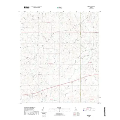
2018 Map of Improve
USGS Topo · Published 2018About this map
Improve stands as the primary community hub within this landscape straddling the Marion Co and Lamar Co line in southern Mississippi. The settlement pattern is largely defined by small family-named roads and an extensive network of cemeteries, suggesting a deeply rooted rural genealogy. Waterways like Wolf Island Br and Beaver Dam Cr carve through the terrain, historically influencing the placement of homesteads and early crossing points.
Find a feature on this map
110 named features on this map. Tap any name to fly to it.
Don’t see what you’re looking for? This feature index may not catch every label — zoom into the map to look around manually.
Map Details
Editions of this 2018 Improve Map
This is the sole edition of this map. No revisions or reprints were ever made.
Other maps of this area

1953 · Hattiesburg
USGS Topo · 1:250,000

1958 · Hattiesburg
USGS Topo · 1:250,000

1969 · Baxterville NE
USGS Topo · 1:24,000

1969 · Pinebur
USGS Topo · 1:24,000

1970 · Columbia South
USGS Topo · 1:24,000

1970 · Bunker Hill
USGS Topo · 1:24,000

1970 · Columbia North
USGS Topo · 1:24,000

1974 · Sumrall
USGS Topo · 1:24,000

1974 · Oloh
USGS Topo · 1:24,000

1974 · Bassfield
USGS Topo · 1:24,000