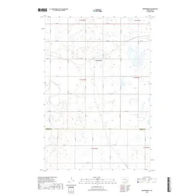
2018 Map of Independence
USGS Topo · Published 2018About this map
Independence sits at the center of this rural North Dakota landscape, situated within a vast grid of section roads that define the region's agricultural character. This survey illustrates the township's layout where Co Rd 60 and various section lines like 74th St SE and 105th Ave SE create a geometric pattern across the prairie. The most prominent natural feature is the James River, which meanders through the southwestern portion of the map, providing a stark visual contrast to the straight-line precision of the surrounding land divisions. The map also documents the political geography of the area, capturing the boundary between LaMoure Co and Dickey Co along 78th St SE. Numerous wetlands and small ponds are scattered throughout the sections, reflecting the glacial pothole topography characteristic of the eastern Dakota plains.
Find a feature on this map
26 named features on this map. Tap any name to fly to it.
Don’t see what you’re looking for? This feature index may not catch every label — zoom into the map to look around manually.
Map Details
Editions of this 2018 Independence Map
This is the sole edition of this map. No revisions or reprints were ever made.
Other maps of this area
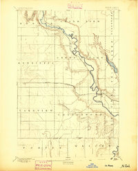
1894 · La Moure
USGS Topo · 1:62,500
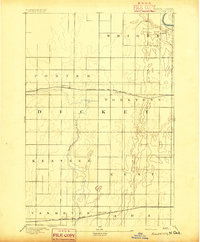
1894 · Fullerton
USGS Topo · 1:62,500
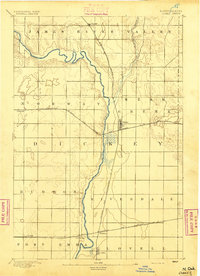
1894 · Oakes
USGS Topo · 1:62,500
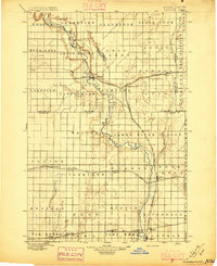
1895 · Lamoure
USGS Topo · 1:125,000
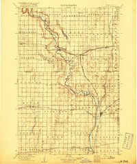
1918 · La Moure
USGS Topo · 1:125,000
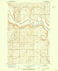
1952 · Glover
USGS Topo · 1:24,000
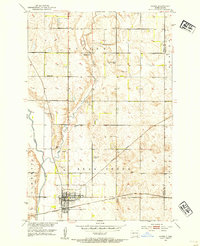
1952 · Oakes
USGS Topo · 1:24,000
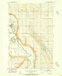
1952 · Grand Rapids
USGS Topo · 1:24,000
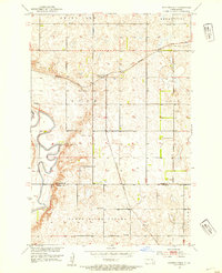
1952 · Independence
USGS Topo · 1:24,000

1953 · Jamestown
USGS Topo · 1:250,000
Featured Places
- Ryan Township, ND
- Independence, ND
- James River Valley Township, ND
- Divide Township, ND
- Ovid Township, ND