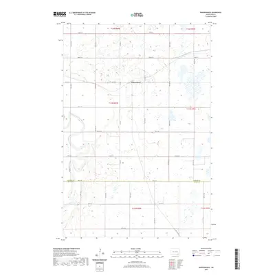
2020 Map of Independence
USGS Topo · Published 2020About this map
The James River meanders through a landscape defined by North Dakota's section-line grid, creating a striking visual contrast between the winding waterway and the rigid agricultural layout. In the heart of this rural expanse sits Independence, located near the junction of 73rd St SE and 107th Ave SE. The terrain is characterized by numerous small wetlands and basins that dot the prairie between the rectilinear paths of roads like 74th St SE and 77th St SE.
Find a feature on this map
18 named features on this map. Tap any name to fly to it.
Don’t see what you’re looking for? This feature index may not catch every label — zoom into the map to look around manually.
Map Details
Editions of this 2020 Independence Map
This is the sole edition of this map. No revisions or reprints were ever made.
Other maps of this area

1894 · La Moure
USGS Topo · 1:62,500

1894 · Fullerton
USGS Topo · 1:62,500

1894 · Oakes
USGS Topo · 1:62,500

1895 · Lamoure
USGS Topo · 1:125,000

1918 · La Moure
USGS Topo · 1:125,000

1952 · Glover
USGS Topo · 1:24,000

1952 · Oakes
USGS Topo · 1:24,000

1952 · Grand Rapids
USGS Topo · 1:24,000

1952 · Independence
USGS Topo · 1:24,000

1953 · Jamestown
USGS Topo · 1:250,000
Featured Places
- Ryan Township, ND
- Independence, ND
- James River Valley Township, ND
- Divide Township, ND
- Ovid Township, ND