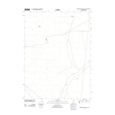
2012 Map of Independence Valley SE
USGS Topo · Published 2012About this map
The Pequop Mountains dominate the western portion of this Elko County landscape, a terrain defined by high-desert passes and seasonal water sources. The historical corridor of the California Trl cuts across the northern section, tracing a route through the arid landscape near Mahogany Canyon. Small settlements and rail-related points like Sage and Luke sit along the eastern corridor, illustrating the continued importance of transportation infrastructure in this part of Nevada.
Find a feature on this map
11 named features on this map. Tap any name to fly to it.
Don’t see what you’re looking for? This feature index may not catch every label — zoom into the map to look around manually.
Map Details
Editions of this 2012 Independence Valley SE Map
This is the sole edition of this map. No revisions or reprints were ever made.
Other maps of this area

1953 · Spruce Mountain 4
USGS Topo · 1:62,500

1955 · Elko
USGS Topo · 1:250,000

1958 · Elko
USGS Topo · 1:250,000

1962 · Elko
USGS Topo · 1:250,000

1965 · Elko
USGS Topo · 1:250,000

1968 · Independence Valley NE
USGS Topo · 1:24,000

1968 · Independence Valley SW
USGS Topo · 1:24,000
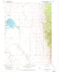
1968 · Independence Valley NW
USGS Topo · 1:24,000

1968 · Independence Valley SE
USGS Topo · 1:24,000
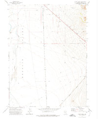
1971 · Hardy Creek
USGS Topo · 1:24,000