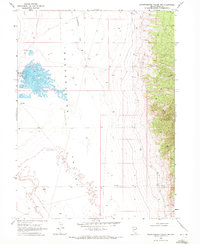
1968 Map of Independence Valley NW
USGS Topo · Published 1971About this map
Warm Springs Ranch serves as a lone point of habitation in this high-desert basin of Elko County, mapped during the late 1960s. The landscape is defined by the Independence Valley (Depression), a vast sink where seasonal drainage from Independence Creek and scattered Springs terminates. This hydrological pattern suggests a specialized ranching economy dependent on these rare water sources in an otherwise arid environment.
Find a feature on this map
8 named features on this map. Tap any name to fly to it.
Don’t see what you’re looking for? This feature index may not catch every label — zoom into the map to look around manually.
Map Details
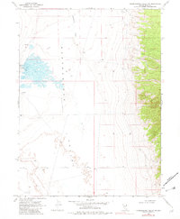
Editions of this 1968 Independence Valley NW Map
2 editions found
Other maps of this area

1955 · Wells
USGS Topo · 1:250,000

1955 · Elko
USGS Topo · 1:250,000

1958 · Wells
USGS Topo · 1:250,000

1958 · Elko
USGS Topo · 1:250,000

1961 · Wells
USGS Topo · 1:250,000

1962 · Elko
USGS Topo · 1:250,000

1965 · Elko
USGS Topo · 1:250,000

1968 · Moor Summit
USGS Topo · 1:24,000

1968 · Independence Valley NE
USGS Topo · 1:24,000

1968 · Independence Valley SW
USGS Topo · 1:24,000