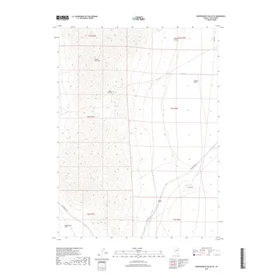
2018 Map of Independence Valley SE
USGS Topo · Published 2018About this map
Pequop Mountains rise sharply in the western half of this quadrangle, creating a natural divide between two high-elevation basins. To the east lies the broad Goshute Valley, while the southwest corner touches the edge of Independence Valley. These valleys are characterized by their arid drainage patterns, including seasonal features like Duck Lake and the small course of Hardy Creek.
Find a feature on this map
17 named features on this map. Tap any name to fly to it.
Don’t see what you’re looking for? This feature index may not catch every label — zoom into the map to look around manually.
Map Details
Editions of this 2018 Independence Valley SE Map
This is the sole edition of this map. No revisions or reprints were ever made.
Other maps of this area

1953 · Spruce Mountain 4
USGS Topo · 1:62,500

1955 · Elko
USGS Topo · 1:250,000

1958 · Elko
USGS Topo · 1:250,000

1962 · Elko
USGS Topo · 1:250,000

1965 · Elko
USGS Topo · 1:250,000

1968 · Independence Valley NE
USGS Topo · 1:24,000

1968 · Independence Valley SW
USGS Topo · 1:24,000
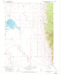
1968 · Independence Valley NW
USGS Topo · 1:24,000

1968 · Independence Valley SE
USGS Topo · 1:24,000
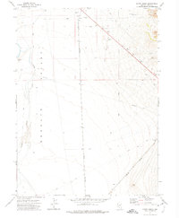
1971 · Hardy Creek
USGS Topo · 1:24,000