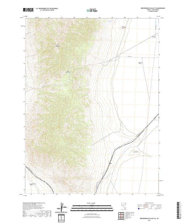
2021 Map of Independence Valley SE
USGS Topo · Published 2021About this map
The Pequop Mountains dominate the western half of this Nevada landscape, creating a sharp topographical boundary between two distinct high-desert basins. To the east, the Goshute Valley provides a relatively flat expanse interrupted only by the presence of Duck Lake and the drainage of Hardy Cr. On the western edge, the land descends into the Independence Valley. This 2021 topographic study illustrates how travel through this demanding terrain remains focused on natural gaps like Little Lake Pass.
Find a feature on this map
17 named features on this map. Tap any name to fly to it.
Don’t see what you’re looking for? This feature index may not catch every label — zoom into the map to look around manually.
Map Details
Editions of this 2021 Independence Valley SE Map
This is the sole edition of this map. No revisions or reprints were ever made.
Other maps of this area

1953 · Spruce Mountain 4
USGS Topo · 1:62,500

1955 · Elko
USGS Topo · 1:250,000

1958 · Elko
USGS Topo · 1:250,000

1962 · Elko
USGS Topo · 1:250,000

1965 · Elko
USGS Topo · 1:250,000

1968 · Independence Valley NE
USGS Topo · 1:24,000

1968 · Independence Valley SW
USGS Topo · 1:24,000
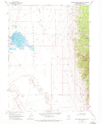
1968 · Independence Valley NW
USGS Topo · 1:24,000

1968 · Independence Valley SE
USGS Topo · 1:24,000
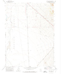
1971 · Hardy Creek
USGS Topo · 1:24,000