
1959 Map of Independence
USGS Topo · Published 1960About this map
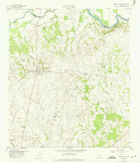
Independence serves as the focal point of this Central Texas landscape, preserveing the early residential footprints of Texas history including the Gov Sam Houston Home and the John Laura Seward Home. The map captures the significant heritage of the area with the Gen J B Robertson Home Historical Marker (Baylor Univ) and Baylor University State Park, reflecting the town's role as the original home of Baylor University.
Find a feature on this map
35 named features on this map. Tap any name to fly to it.
Don’t see what you’re looking for? This feature index may not catch every label — zoom into the map to look around manually.
Map Details
Editions of this 1959 Independence Map
Other maps of this area

1913 · Millican
USGS Topo · 1:31,680

1914 · Gay Hill
USGS Topo · 1:62,500

1914 · Navasota
USGS Topo · 1:62,500

1930 · Brenham
USGS Topo · 1:62,500

1954 · Austin
USGS Topo · 1:250,000

1956 · Hempstead
USGS Topo · 1:62,500

1956 · Brenham
USGS Topo · 1:62,500

1958 · Washington
USGS Topo · 1:24,000

1959 · Millican
USGS Topo · 1:24,000

1959 · Gay Hill
USGS Topo · 1:24,000