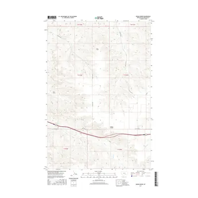
2017 Map of Indian Arrow
USGS Topo · Published 2017About this map
Custer Coulee and Burnt Coulee carve through the Yellowstone County landscape, defining the drainage patterns that flow toward the Missouri River system. The land is characterized by a network of intermittent streams, including Girl Cr, Arrow Cr, and the descriptively named Three-Wolf Cr. Human presence is concentrated along the southern corridor where Indian Arrow is situated near a major transportation artery.
Find a feature on this map
19 named features on this map. Tap any name to fly to it.
Don’t see what you’re looking for? This feature index may not catch every label — zoom into the map to look around manually.
Map Details
Editions of this 2017 Indian Arrow Map
This is the sole edition of this map. No revisions or reprints were ever made.
Other maps of this area
1893 · Huntley
USGS Topo · 1:125,000
1954 · Billings
USGS Topo · 1:250,000
1956 · Huntley
USGS Topo · 1:24,000
1957 · Billings
USGS Topo · 1:250,000
1958 · Billings
USGS Topo · 1:250,000
1967 · Nibbe
USGS Topo · 1:24,000
1967 · Worden
USGS Topo · 1:24,000
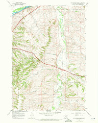
1967 · Cottonwood Creek
USGS Topo · 1:24,000
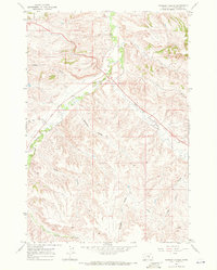
1967 · Badbaby Coulee
USGS Topo · 1:24,000
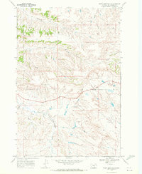
1969 · Woody Mountain NW
USGS Topo · 1:24,000