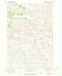
1969 Map of Woody Mountain NW
USGS Topo · Published 1972About this map
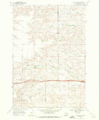
The Crow Indian Reservation Boundary bisects this landscape, marking a significant legal and cultural line across the high plains of Yellowstone County. To the north and west, the terrain is defined by a series of drainages including Alkali Creek and Broken Leg Creek, while the southern portion is dominated by the winding course of the East Fork Pryor Creek. The map documents a sparsely settled ranching or grazing environment, where the natural water sources like Indian Creek and Telegraph Creek dictate the utility of the land. A primary highway cuts east-west across the central portion, providing a modern contrast to the deep-cut Lone Tree Coulee and the traditional reservation lands. This survey offers a clear view of the intersection between established indigenous territories and the rural development of Montana in the late 1960s.
Find a feature on this map
7 named features on this map. Tap any name to fly to it.
Don’t see what you’re looking for? This feature index may not catch every label — zoom into the map to look around manually.
Map Details
Editions of this 1969 Woody Mountain NW Map
2 editions found
Other maps of this area

1893 · Huntley
USGS Topo · 1:125,000

1954 · Billings
USGS Topo · 1:250,000

1957 · Billings
USGS Topo · 1:250,000

1958 · Billings
USGS Topo · 1:250,000

1967 · Soda Springs
USGS Topo · 1:24,000

1967 · Cottonwood Creek
USGS Topo · 1:24,000
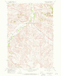
1967 · Badbaby Coulee
USGS Topo · 1:24,000
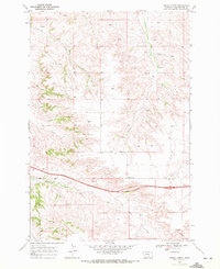
1969 · Indian Arrow
USGS Topo · 1:24,000
1969 · Gails Coulee
USGS Topo · 1:24,000
1969 · North Telegraph Creek
USGS Topo · 1:24,000