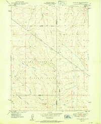
1950 Map of Indian Butte
USGS Topo · Published 1950About this map
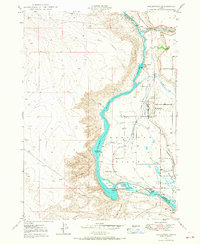
The Aerial Gunnery Range dominates this landscape south of the Snake River, illustrating the mid-century intersection of vast Idaho terrain and military training requirements. Surveyed in 1949, the topography is defined by complex drainage networks including Tuana Gulch and Cassia Gulch, which carve through the high desert floor toward the Military Reservation Boundary.
Find a feature on this map
17 named features on this map. Tap any name to fly to it.
Don’t see what you’re looking for? This feature index may not catch every label — zoom into the map to look around manually.
Map Details
Editions of this 1950 Indian Butte Map
This is the sole edition of this map. No revisions or reprints were ever made.
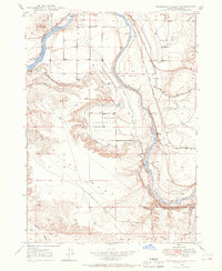
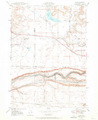
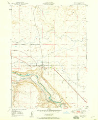
Other maps of this area
1947 · Pasadena Valley
USGS Topo · 1:24,000

1948 · Pasadena Valley
USGS Topo · 1:24,000

1948 · Twentymile Butte
USGS Topo · 1:24,000
1948 · Ticeska
USGS Topo · 1:24,000

1949 · Ticeska
USGS Topo · 1:24,000

1949 · Pasadena Valley
USGS Topo · 1:62,500
1949 · Bliss
USGS Topo · 1:24,000
1949 · Hagerman
USGS Topo · 1:24,000
1949 · Indian Butte
USGS Topo · 1:24,000
1950 · Hagerman
USGS Topo · 1:24,000