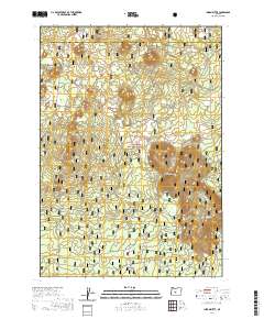
2020 Map of Indian Butte
USGS Topo · Published 2020About this map
Deschutes National Forest encompasses this volcanic landscape along the border of Deschutes and Lake counties. The terrain is defined by the massive footprint of the Newberry Volcano, characterized by a series of prominent cinder cones and topographic rises. Among these are Indian Butte, Amota Butte, and the distinct Crater Buttes. The distribution of these features reveals the underlying geomorphology of the region, where numerous individual peaks like Youtikut Butte and Red Butte punctuate the high-elevation woods. A network of forest roads and trails provides access to these landmarks, which include Dogleg Butte in the north and the elongated Sugar Pine Ridge to the southeast. The mapping reflects modern land management boundaries, tracing the township and range lines across this geologically active corner of Oregon.
Find a feature on this map
17 named features on this map. Tap any name to fly to it.
Don’t see what you’re looking for? This feature index may not catch every label — zoom into the map to look around manually.
Map Details
Editions of this 2020 Indian Butte Map
This is the sole edition of this map. No revisions or reprints were ever made.
Other maps of this area
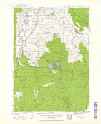
1931 · Newberry Crater
USGS Topo · 1:125,000
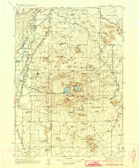
1935 · Newberry Crater
USGS Topo · 1:125,000

1955 · Crescent
USGS Topo · 1:250,000

1957 · Crescent
USGS Topo · 1:250,000

1958 · Crescent
USGS Topo · 1:250,000
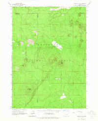
1963 · Spring Butte
USGS Topo · 1:24,000
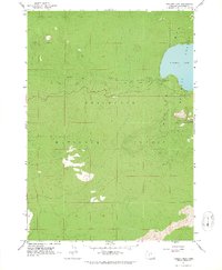
1963 · Paulina Peak
USGS Topo · 1:24,000
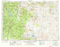
1970 · Crescent
USGS Topo · 1:250,000
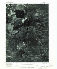
1974 · Newberry Crater 4 NW
USGS Topo · 1:24,000
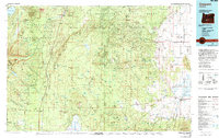
1979 · Crescent
USGS Topo · 1:100,000