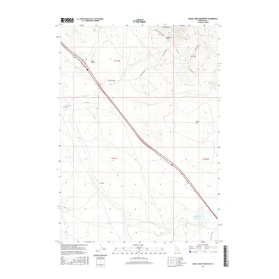
2017 Map of Indian Creek Reservoir
USGS Topo · Published 2017About this map
The Route of the Oregon Trl and the Oregon Trail itself cut across the northeast corner of this Idaho landscape, passing near Bonneville Point and through the rugged draws of Lydle Gulch. This high-desert terrain in Ada County is defined by its intermittent drainage systems, including Fivemile Cr, Blacks Cr, and N Indian Cr, which flow toward the Indian Creek Reservoir in the southeast.
Find a feature on this map
24 named features on this map. Tap any name to fly to it.
Don’t see what you’re looking for? This feature index may not catch every label — zoom into the map to look around manually.
Map Details
Editions of this 2017 Indian Creek Reservoir Map
This is the sole edition of this map. No revisions or reprints were ever made.
Other maps of this area
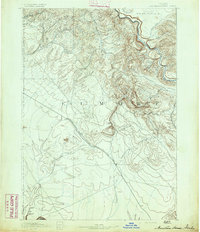
1892 · Mountain Home
USGS Topo · 1:125,000
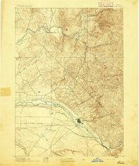
1892 · Boise
USGS Topo · 1:125,000
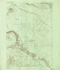
1892 · Bisuka
USGS Topo · 1:125,000
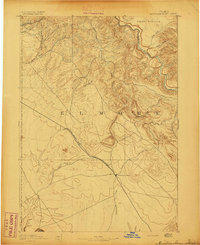
1893 · Mountain Home
USGS Topo · 1:125,000
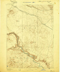
1894 · Bisuka
USGS Topo · 1:125,000
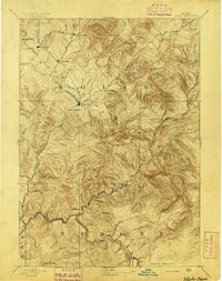
1894 · Idaho Basin
USGS Topo · 1:125,000
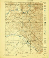
1897 · Boise
USGS Topo · 1:125,000
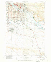
1954 · Boise South
USGS Topo · 1:24,000
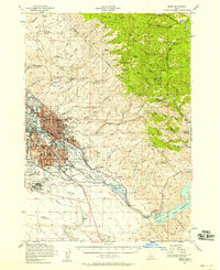
1954 · Boise
USGS Topo · 1:62,500
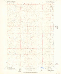
1955 · Christmas Mtn
USGS Topo · 1:24,000