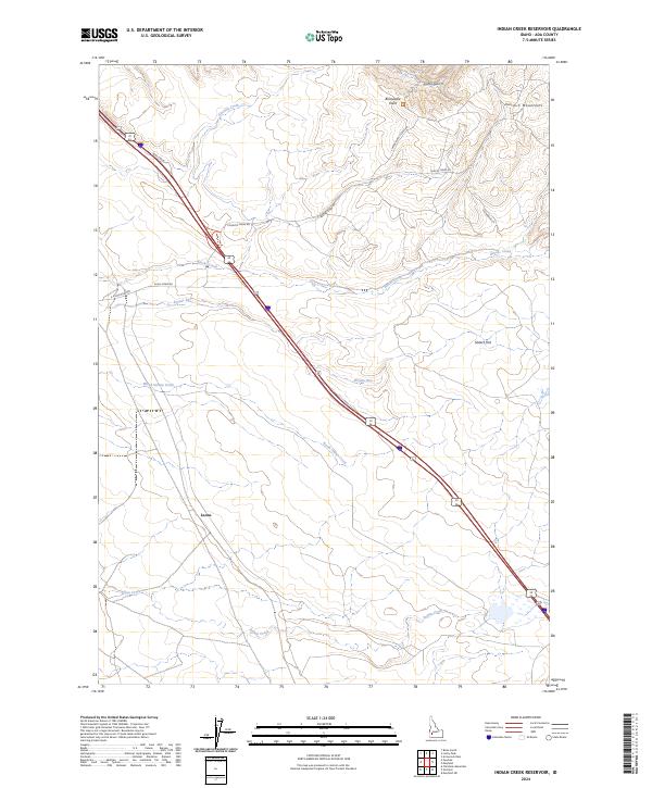
2024 Map of Indian Creek Reservoir
USGS Topo · Published 2024About this map
Bonneville Point stands as a prominent landmark in this section of Ada County, overlooking a landscape defined by the drainage systems of Indian Creek and North Indian Creek. The topography is shaped by the western reaches of the Danskin Mountains and open stretches like Slaters Flat, where the high desert terrain meets established transportation corridors. The settlement at Leone serves as a local waypoint along the rail line, reflecting the historical importance of transit through this arid region.
Find a feature on this map
21 named features on this map. Tap any name to fly to it.
Don’t see what you’re looking for? This feature index may not catch every label — zoom into the map to look around manually.
Map Details
Editions of this 2024 Indian Creek Reservoir Map
This is the sole edition of this map. No revisions or reprints were ever made.
Other maps of this area

1892 · Mountain Home
USGS Topo · 1:125,000

1892 · Boise
USGS Topo · 1:125,000

1892 · Bisuka
USGS Topo · 1:125,000

1893 · Mountain Home
USGS Topo · 1:125,000

1894 · Bisuka
USGS Topo · 1:125,000

1894 · Idaho Basin
USGS Topo · 1:125,000

1897 · Boise
USGS Topo · 1:125,000

1954 · Boise South
USGS Topo · 1:24,000

1954 · Boise
USGS Topo · 1:62,500

1955 · Christmas Mtn
USGS Topo · 1:24,000