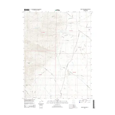
2014 Map of Indian Farm Creek
USGS Topo · Published 2014About this map
Snake Valley and the surrounding high desert terrain dominate this 2014 survey, illustrating a landscape defined by seasonal watercourses and remote access roads. The drainage systems of Toms Cr, Indian Farm Cr, and Red Cedar Cr descend from the western uplands toward the valley floor, creating natural corridors that have historically dictated movement through the region. At the foot of the mountains, Kent Spring provides a vital water source in an otherwise arid environment. The map details a network of specialized roads such as the Weiss Hwy, N Snake Valley Rd, and Red Cedar Rd, which connect the vast open spaces. Evidence of resource extraction is found in the south, where Trout Creek Mine 3 is located near Big Rock T, highlighting the area's geological significance and mining history.
Find a feature on this map
43 named features on this map. Tap any name to fly to it.
Don’t see what you’re looking for? This feature index may not catch every label — zoom into the map to look around manually.
Map Details
Editions of this 2014 Indian Farm Creek Map
This is the sole edition of this map. No revisions or reprints were ever made.
Other maps of this area
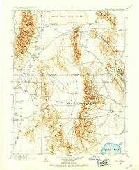
1908 · Fish Springs
USGS Topo · 1:250,000
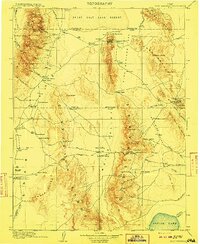
1910 · Fish Springs
USGS Topo · 1:250,000

1953 · Delta
USGS Topo · 1:250,000

1958 · Delta
USGS Topo · 1:250,000
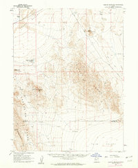
1960 · Granite Mountain
USGS Topo · 1:62,500
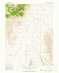
1961 · Trout Creek
USGS Topo · 1:62,500

1962 · Delta
USGS Topo · 1:250,000
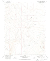
1972 · Mud Lake Reservoir
USGS Topo · 1:24,000
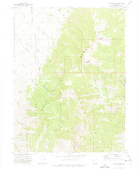
1972 · Ibapah Peak
USGS Topo · 1:24,000
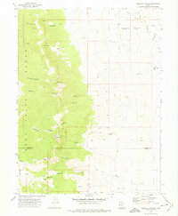
1972 · Goshute Canyon
USGS Topo · 1:24,000