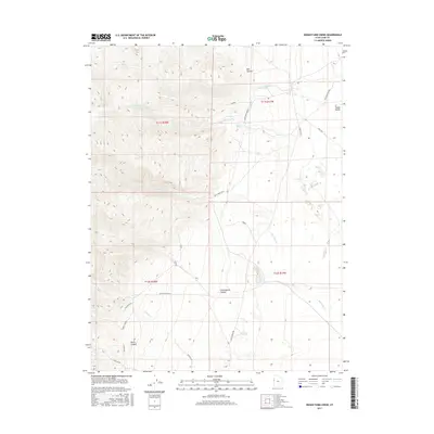
2017 Map of Indian Farm Creek
USGS Topo · Published 2017About this map
Snake Valley forms a broad basin along the eastern edge of this Juab County landscape, where the high desert meets the rising slopes of the Deep Creek Range. The drainage of Indian Farm Creek and Toms Cr flows eastward from the mountains toward the valley floor, passing through the elevated Deep Creek Bench. This 2017 survey details a network of routes used for remote access and historical transit, most notably the Pony Express Rd cutting through the southern half of the map.
Find a feature on this map
22 named features on this map. Tap any name to fly to it.
Don’t see what you’re looking for? This feature index may not catch every label — zoom into the map to look around manually.
Map Details
Editions of this 2017 Indian Farm Creek Map
This is the sole edition of this map. No revisions or reprints were ever made.
Other maps of this area
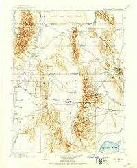
1908 · Fish Springs
USGS Topo · 1:250,000
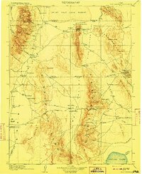
1910 · Fish Springs
USGS Topo · 1:250,000

1953 · Delta
USGS Topo · 1:250,000

1958 · Delta
USGS Topo · 1:250,000
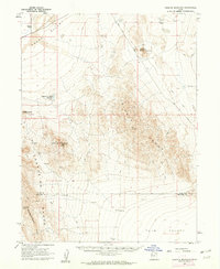
1960 · Granite Mountain
USGS Topo · 1:62,500
1961 · Trout Creek
USGS Topo · 1:62,500

1962 · Delta
USGS Topo · 1:250,000
1972 · Mud Lake Reservoir
USGS Topo · 1:24,000
1972 · Ibapah Peak
USGS Topo · 1:24,000
1972 · Goshute Canyon
USGS Topo · 1:24,000