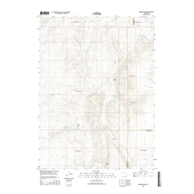
2015 Map of Indian Guide
USGS Topo · Published 2015About this map
The high-altitude drainage systems of Albany, Platte, and Laramie Counties define this 2015 topographic study. Centered on the Indian Guide landmark, the landscape is a network of steep-walled canyons and upland water management. The area is dominated by an extensive series of reservoirs, including the Canon Number 1 Reservoir through Canon Number 4 Reservoir and the Iron Mountain Number 1 Reservoir. These catchments, along with the Two Bar Number 1 Reservoir, suggest a legacy of ranching and water rights in this arid portion of Wyoming. S Fork Sybille Cr and Iron Mountain Cr weave through deep cuts like Waechter Canyon and East Canyon, while the winding Sybille Rd provides the primary transit route through the foothills. The tri-county boundary point where Albany, Platte, and Laramie Counties meet serves as a significant cadastral reference for local land researchers.
Find a feature on this map
32 named features on this map. Tap any name to fly to it.
Don’t see what you’re looking for? This feature index may not catch every label — zoom into the map to look around manually.
Map Details
Editions of this 2015 Indian Guide Map
This is the sole edition of this map. No revisions or reprints were ever made.
Other maps of this area
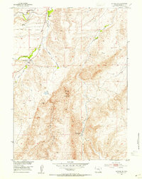
1953 · Natwick SW
USGS Topo · 1:24,000
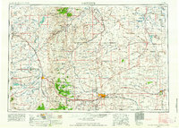
1954 · Cheyenne
USGS Topo · 1:250,000
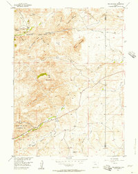
1955 · Poe Mountain
USGS Topo · 1:24,000
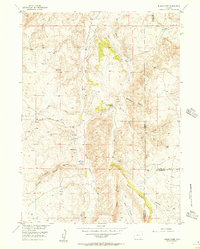
1955 · Indian Guide
USGS Topo · 1:24,000
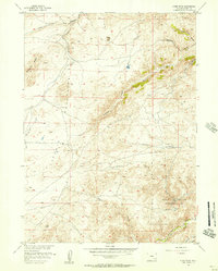
1955 · Guide Rock
USGS Topo · 1:24,000
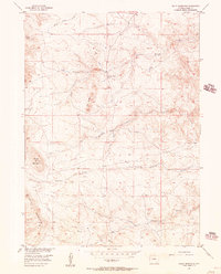
1955 · Baldy Mountain
USGS Topo · 1:24,000
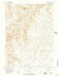
1955 · Sheep Rock
USGS Topo · 1:24,000
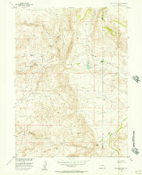
1955 · Goat Mountain
USGS Topo · 1:24,000
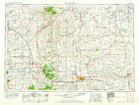
1958 · Cheyenne
USGS Topo · 1:250,000
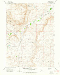
1962 · Farthing
USGS Topo · 1:24,000