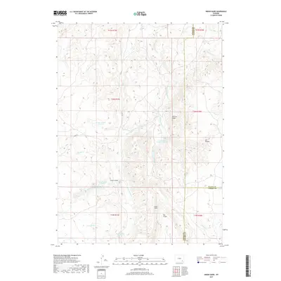
2017 Map of Indian Guide
USGS Topo · Published 2017About this map
Indian Guide rises as a prominent landmark in this high-altitude ranching and watershed region where Laramie, Albany, and Platte Counties meet. The landscape is defined by a sophisticated system of water management, evidenced by numerous high-elevation catchments including the Two Bar Number 1 Reservoir and Iron Mountain Number 1 Reservoir. These water bodies are vital to the cattle operations that have historically utilized the drainage basins of S Fork Sybille Cr and Iron Mountain Cr.
Find a feature on this map
31 named features on this map. Tap any name to fly to it.
Don’t see what you’re looking for? This feature index may not catch every label — zoom into the map to look around manually.
Map Details
Editions of this 2017 Indian Guide Map
This is the sole edition of this map. No revisions or reprints were ever made.
Other maps of this area
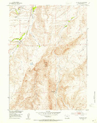
1953 · Natwick SW
USGS Topo · 1:24,000
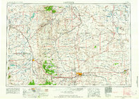
1954 · Cheyenne
USGS Topo · 1:250,000
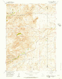
1955 · Poe Mountain
USGS Topo · 1:24,000
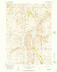
1955 · Indian Guide
USGS Topo · 1:24,000
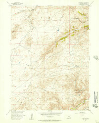
1955 · Guide Rock
USGS Topo · 1:24,000
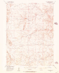
1955 · Baldy Mountain
USGS Topo · 1:24,000
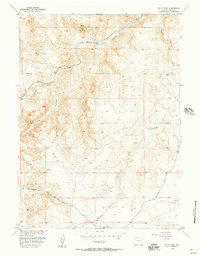
1955 · Sheep Rock
USGS Topo · 1:24,000
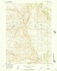
1955 · Goat Mountain
USGS Topo · 1:24,000
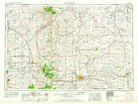
1958 · Cheyenne
USGS Topo · 1:250,000
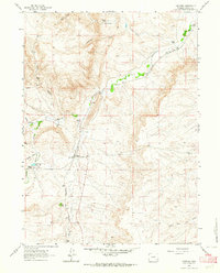
1962 · Farthing
USGS Topo · 1:24,000