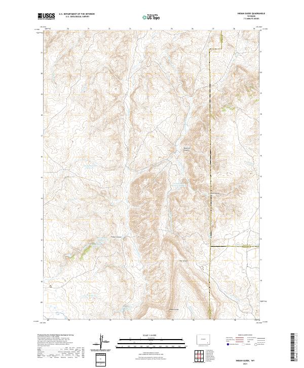
2021 Map of Indian Guide
USGS Topo · Published 2021About this map
Indian Guide rises as a prominent landmark in this high-altitude landscape where the borders of Albany, Laramie, and Platte counties meet. The drainage of S Fork Sybille Cr and Iron Mountain Cr dictates the local geography, feeding a system of upland water management that includes Two Bar Number 1 Reservoir and Iron Mountain Reservoir. These reservoirs, along with Canon Number 1 Reservoir and its companion, Canon Number 3 Reservoir, illustrate the historical importance of water storage for ranching and resource management in this corner of the state. Steep terrain is defined by dramatic breaks like Waechter Canyon, East Canyon, and Timber Canyon, which carve through the high plains. Roads such as Sybille Rd and Co RD 12 provide the primary access through this sparsely populated territory, linking isolated drainage basins like Canteen Cr and Hay Canyon.
Find a feature on this map
30 named features on this map. Tap any name to fly to it.
Don’t see what you’re looking for? This feature index may not catch every label — zoom into the map to look around manually.
Map Details
Editions of this 2021 Indian Guide Map
This is the sole edition of this map. No revisions or reprints were ever made.
Other maps of this area

1953 · Natwick SW
USGS Topo · 1:24,000

1954 · Cheyenne
USGS Topo · 1:250,000

1955 · Poe Mountain
USGS Topo · 1:24,000

1955 · Indian Guide
USGS Topo · 1:24,000

1955 · Guide Rock
USGS Topo · 1:24,000

1955 · Baldy Mountain
USGS Topo · 1:24,000

1955 · Sheep Rock
USGS Topo · 1:24,000

1955 · Goat Mountain
USGS Topo · 1:24,000

1958 · Cheyenne
USGS Topo · 1:250,000

1962 · Farthing
USGS Topo · 1:24,000