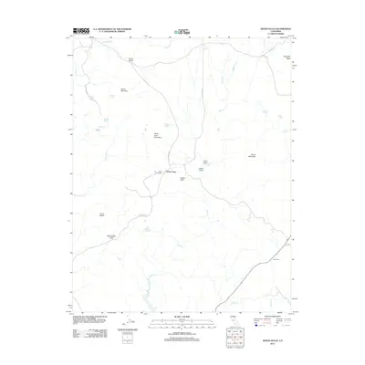
2012 Map of Indian Gulch
USGS Topo · Published 2012About this map
Indian Gulch serves as a focal point for this Mariposa County landscape, where the foothills transition into the high ridges of the Sierra Nevada. The map documents a terrain defined by deep drainages and prominent heights like Quartz Mountain and Santa Cruz Mountain. For family historians, the Santa Cruz Cem and local landmarks like the Day Ranch provide specific points of interest amidst the network of seasonal creeks including Bear Cr and Miles Cr.
Find a feature on this map
37 named features on this map. Tap any name to fly to it.
Don’t see what you’re looking for? This feature index may not catch every label — zoom into the map to look around manually.
Map Details
Editions of this 2012 Indian Gulch Map
This is the sole edition of this map. No revisions or reprints were ever made.
Other maps of this area

1893 · Sonora
USGS Topo · 1:125,000

1896 · Sonora
USGS Topo · 1:125,000

1897 · Sonora
USGS Topo · 1:125,000

1898 · Sonora
USGS Topo · 1:125,000

1915 · Owens Creek
USGS Topo · 1:31,680

1916 · Merced Falls
USGS Topo · 1:24,000

1918 · Owens Creek
USGS Topo · 1:31,680

1918 · Planada
USGS Topo · 1:31,680

1919 · Indian Gulch
USGS Topo · 1:48,000

1919 · Haystack Mountain
USGS Topo · 1:31,680