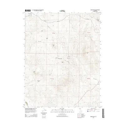
2015 Map of Indian Gulch
USGS Topo · Published 2015About this map
Hornitos and the small settlement of Indian Gulch anchor this 2015 survey of the Sierra Nevada foothills in Mariposa County. The landscape is defined by its gold-country heritage, featuring numerous gulches and prominent landforms like Quartz Mtn and Shanghai Ridge. Genealogists may find value in the presence of Santa Cruz Cemetery near the base of Santa Cruz Mtn. The transport network reveals layers of local history, from the Hornitos RD and Indian Gulch RD to traces of the Old Toll Rd in the northeast and Old HWY in the southeast. Water management is evident throughout the region via features such as Bear Reservoir and numerous ponds like Cathey Pond and Petes Pond, illustrating how ranching and irrigation have shaped the use of this complex terrain over time.
Find a feature on this map
43 named features on this map. Tap any name to fly to it.
Don’t see what you’re looking for? This feature index may not catch every label — zoom into the map to look around manually.
Map Details
Editions of this 2015 Indian Gulch Map
This is the sole edition of this map. No revisions or reprints were ever made.
Other maps of this area

1893 · Sonora
USGS Topo · 1:125,000

1896 · Sonora
USGS Topo · 1:125,000

1897 · Sonora
USGS Topo · 1:125,000

1898 · Sonora
USGS Topo · 1:125,000

1915 · Owens Creek
USGS Topo · 1:31,680

1916 · Merced Falls
USGS Topo · 1:24,000

1918 · Owens Creek
USGS Topo · 1:31,680

1918 · Planada
USGS Topo · 1:31,680

1919 · Indian Gulch
USGS Topo · 1:48,000

1919 · Haystack Mountain
USGS Topo · 1:31,680