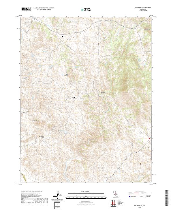
2021 Map of Indian Gulch
USGS Topo · Published 2021About this map
Indian Gulch remains the central focus of this landscape along the border of Mariposa and Merced counties. The terrain is defined by a series of prominent peaks and drainage systems, including Quartz Mtn to the north and Indian Peak rising above the local gulches. The historical footprint of early families is evident through sites like the Givins Cem and Santa Cruz Cem, while the road network preserves the era of early commerce with the Old Toll Rd stretching toward Shanghai Ridge. Water resources are scattered across the land in the form of named catchments such as Cathey Pond and Giles Pond, which supported the livestock and small-scale operations of this rural interior. The map clearly illustrates the transition from the high points of Three Buttes and Santa Cruz Mtn down into the winding beds of Bear Cr and Owens Cr.
Find a feature on this map
41 named features on this map. Tap any name to fly to it.
Don’t see what you’re looking for? This feature index may not catch every label — zoom into the map to look around manually.
Map Details
Editions of this 2021 Indian Gulch Map
This is the sole edition of this map. No revisions or reprints were ever made.
Other maps of this area

1893 · Sonora
USGS Topo · 1:125,000

1896 · Sonora
USGS Topo · 1:125,000

1897 · Sonora
USGS Topo · 1:125,000

1898 · Sonora
USGS Topo · 1:125,000

1915 · Owens Creek
USGS Topo · 1:31,680

1916 · Merced Falls
USGS Topo · 1:24,000

1918 · Owens Creek
USGS Topo · 1:31,680

1918 · Planada
USGS Topo · 1:31,680

1919 · Indian Gulch
USGS Topo · 1:48,000

1919 · Haystack Mountain
USGS Topo · 1:31,680