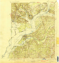
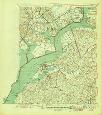
1925 Map of Indian Head
USGS Topo · Published 1925About this map
Indian Head serves as a focal point for this Potomac River survey, which captures the river corridor during the mid-1920s as it transitions from historic landed estates to military and industrial use. The map illustrates the maritime infrastructure of the era through numerous landings and wharves, such as Mattinglys Wharf and Proctors Wharf, which supported local commerce and the Proving Grounds. On the Virginia shore, the landscape is defined by large tracts including the Fort Humphreys National Forest and historic sites like Pohick Church and Mt Vernon. The inclusion of underwater contours and soundings provides a rare look at the navigable channels of the Potomac River and Occoquan Bay. Local economic life is marked by agricultural and milling sites, notably Millards Mill, while schools like Gunston Hall School and Granny Thompson School identify the social centers of these riverine communities.
Find a feature on this map
119 named features on this map. Tap any name to fly to it.
Don’t see what you’re looking for? This feature index may not catch every label — zoom into the map to look around manually.
Map Details
Editions of this 1925 Indian Head Map
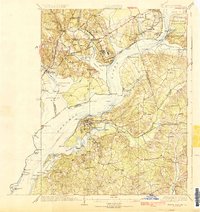
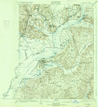
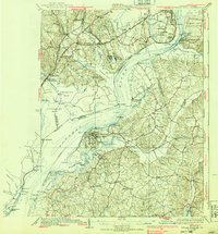
6 editions found

Other maps of this area

1889 · Fredericksburg
USGS Topo · 1:125,000

1890 · Mt. Vernon
USGS Topo · 1:125,000

1891 · Mt. Vernon
USGS Topo · 1:125,000

1892 · Fredericksburg
USGS Topo · 1:125,000

1892 · Brandywine
USGS Topo · 1:62,500

1894 · Wicomico
USGS Topo · 1:62,500

1894 · Fredericksburg
USGS Topo · 1:125,000

1894 · Mt. Vernon
USGS Topo · 1:125,000

1895 · Wicomico
USGS Topo · 1:62,500

1895 · Brandywine
USGS Topo · 1:62,500