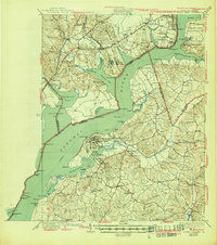
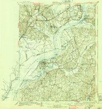
1925 Map of Indian Head
USGS Topo · Published 1945About this map
The Potomac River dominates this mid-century survey, serving as the primary corridor between the Maryland and Virginia shorelines during a time of significant maritime activity. Along the western banks, the Naval Proving Grounds at Indian Head contrast with the historic landscape of Mt Vernon and the academic grounds of Gunston Hall School. The map captures a transition in transportation, showing both the established Richmond Fredericksburg and Potomac RR and the Steamboat Route threading through the river bends.
Find a feature on this map
124 named features on this map. Tap any name to fly to it.
Don’t see what you’re looking for? This feature index may not catch every label — zoom into the map to look around manually.
Map Details
Editions of this 1925 Indian Head Map
6 editions found

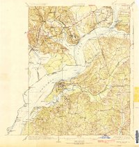
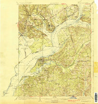
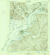
Other maps of this area

1889 · Fredericksburg
USGS Topo · 1:125,000

1890 · Mt. Vernon
USGS Topo · 1:125,000

1891 · Mt. Vernon
USGS Topo · 1:125,000

1892 · Fredericksburg
USGS Topo · 1:125,000

1892 · Brandywine
USGS Topo · 1:62,500

1894 · Wicomico
USGS Topo · 1:62,500

1894 · Fredericksburg
USGS Topo · 1:125,000

1894 · Mt. Vernon
USGS Topo · 1:125,000

1895 · Wicomico
USGS Topo · 1:62,500

1895 · Brandywine
USGS Topo · 1:62,500