
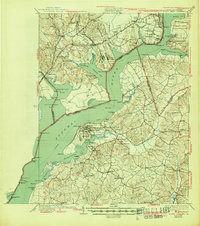
1925 Map of Indian Head
USGS Topo · Published 1925About this map
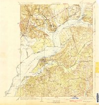
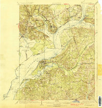
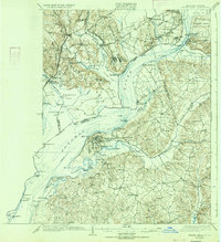
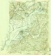
Potomac River shores define this 1925 survey, documenting the transition between Northern Virginia's growing transportation corridors and the rural agricultural tracts of Maryland. The western bank is dominated by the Richmond Fredericksburg and Potomac rail line and the Richmond Highway, passing through emerging towns like Woodbridge and Lorton. Much of the Virginia side is preserved within the Fort Humphreys Military Reservation, while the Maryland side centers on the naval activities at Indian Head. Evidence of a river-based economy remains visible through numerous landings and wharves such as Mattinglys Wharf and Proctors Wharf, while an active steamboat route still navigates the river channel. Inland, the map captures a traditional landscape of small settlements like Pomonkey and Pisgah, supported by local institutions like Millards Mill and the Granny Thompson School.
Find a feature on this map
125 named features on this map. Tap any name to fly to it.
Don’t see what you’re looking for? This feature index may not catch every label — zoom into the map to look around manually.
Map Details
Editions of this 1925 Indian Head Map
6 editions found
Other maps of this area

1889 · Fredericksburg
USGS Topo · 1:125,000

1890 · Mt. Vernon
USGS Topo · 1:125,000

1891 · Mt. Vernon
USGS Topo · 1:125,000

1892 · Fredericksburg
USGS Topo · 1:125,000

1892 · Brandywine
USGS Topo · 1:62,500

1894 · Wicomico
USGS Topo · 1:62,500

1894 · Fredericksburg
USGS Topo · 1:125,000

1894 · Mt. Vernon
USGS Topo · 1:125,000

1895 · Wicomico
USGS Topo · 1:62,500

1895 · Brandywine
USGS Topo · 1:62,500