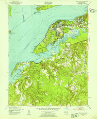
1951 Map of Indian Head
USGS Topo · Published 1954About this map
The US Naval Reservation and its Stump Neck Annex dominate the peninsula at the confluence of the Potomac River and Mattawoman Creek during the early 1950s. This survey illustrates the strategic military footprint in Charles County, Maryland, alongside established riverfront settlements like Indian Head and Glymont. The map records a landscape transitioning from rural tobacco-country roots to a defense-centered economy, evidenced by the proximity of the US Government RR to local landmarks such as Mattingly Wharf and St Charles Ch.
Find a feature on this map
58 named features on this map. Tap any name to fly to it.
Don’t see what you’re looking for? This feature index may not catch every label — zoom into the map to look around manually.
Map Details
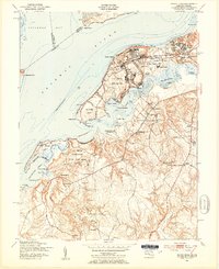
Editions of this 1951 Indian Head Map
2 editions found
Other maps of this area

1889 · Fredericksburg
USGS Topo · 1:125,000

1890 · Mt. Vernon
USGS Topo · 1:125,000

1891 · Mt. Vernon
USGS Topo · 1:125,000

1892 · Fredericksburg
USGS Topo · 1:125,000

1894 · Fredericksburg
USGS Topo · 1:125,000

1894 · Mt. Vernon
USGS Topo · 1:125,000

1897 · Mt. Vernon
USGS Topo · 1:125,000

1913 · Indian Head
USGS Topo · 1:62,500

1913 · Nanjemoy
USGS Topo · 1:62,500

1923 · Indian Head
USGS Topo · 1:48,000