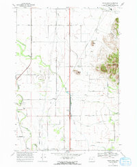
1969 Map of Indian Head
USGS Topo · Published 1971About this map
Southern Pacific rail lines anchor the agricultural rhythm of this Linn County landscape, connecting the small siding of Rowland to broader markets. The terrain is defined by a series of prominent elevations rising from the valley floor, most notably Indian Head, Twin Buttes, and Bond Butte. These landmarks provided vital orientation for early settlers and continue to overlook a network of country roads like Irish Bend Road and Priceboro Road.
Find a feature on this map
35 named features on this map. Tap any name to fly to it.
Don’t see what you’re looking for? This feature index may not catch every label — zoom into the map to look around manually.
Map Details
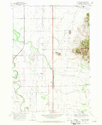
Editions of this 1969 Indian Head Map
2 editions found
Other maps of this area

1909 · Harrisburg
USGS Topo · 1:31,680

1909 · Rowland
USGS Topo · 1:31,680

1910 · Eugene
USGS Topo · 1:62,500

1911 · Brownsville
USGS Topo · 1:31,680

1912 · Halsey
USGS Topo · 1:62,500

1921 · Brownsville
USGS Topo · 1:62,500

1940 · Eugene
USGS Topo · 1:62,500

1941 · Halsey
USGS Topo · 1:62,500

1946 · Eugene
USGS Topo · 1:62,500

1949 · Eugene
USGS Topo · 1:62,500