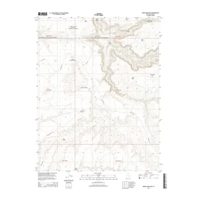
2014 Map of Indian Head Pass
USGS Topo · Published 2014About this map
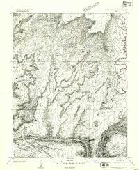
Indian Head Pass serves as a central landmark in this remote corner of San Juan County, where high plateaus are dissected by a complex network of deep drainages. The landscape is defined by the transition between the Glen Canyon National Recreation Area and the protected Dark Canyon Primitive Area. Prominent features like Squaw and Papoose Rock and Lean-To Point provided essential visual navigation for those traversing the high ground between Dark Canyon and Lost Canyon. Historically, access was limited to primitive routes such as Woodenshoe Rd and the Sun Dance trail, reflecting the area's isolation and its primary use for backcountry exploration and livestock grazing on areas like Lower Horse Flats. The topography reveals the dramatic erosional patterns of the Colorado River's tributaries, including the deeply incised Fortknocker Canyon.
Find a feature on this map
27 named features on this map. Tap any name to fly to it.
Don’t see what you’re looking for? This feature index may not catch every label — zoom into the map to look around manually.
Map Details
Editions of this 2014 Indian Head Pass Map
This is the sole edition of this map. No revisions or reprints were ever made.
Other maps of this area

1886 · Henry Mountains
USGS Topo · 1:250,000

1892 · Henry Mountains
USGS Topo · 1:250,000
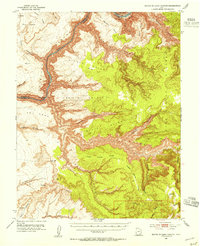
1952 · Mouth of Dark Canyon
USGS Topo · 1:62,500
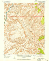
1952 · Mancos Mesa
USGS Topo · 1:62,500
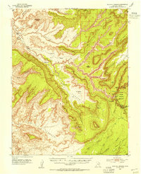
1952 · Natural Bridges
USGS Topo · 1:62,500
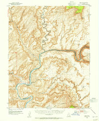
1952 · Hite
USGS Topo · 1:62,500
1954 · White Canyon 1 NE
USGS Topo · 1:24,000
1954 · White Canyon 4 NE
USGS Topo · 1:24,000
1954 · White Canyon 1 SE
USGS Topo · 1:24,000
1954 · White Canyon 2 NE
USGS Topo · 1:24,000