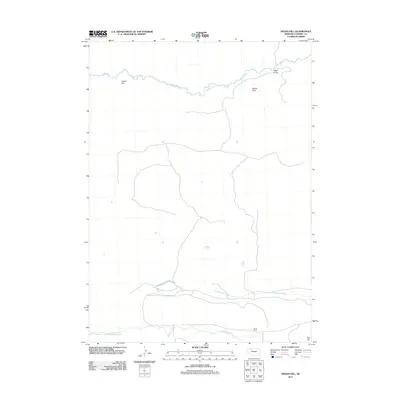
2011 Map of Indian Hill
USGS Topo · Published 2011About this map
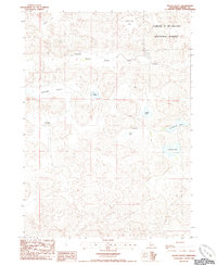
The Snake River winds across the northern reaches of this Cherry County landscape, passing the namesake Indian Hill and the distinctive geological depression of Devils Hole. In this sparsely settled portion of the Nebraska Sandhills, the terrain is defined by its watercourses, including Boardman Creek and Gordon Creek to the south. The mapping of the Kime Ranch provides a specific point of reference for local history and land use in a region primarily used for cattle ranching. Toward the southeastern corner, the land rises to Aljo Hill, while the Indian Bridge offers a rare named crossing over the river. The lack of dense road networks illustrates the remote, rural character of the area during the early 21st century.
Find a feature on this map
8 named features on this map. Tap any name to fly to it.
Don’t see what you’re looking for? This feature index may not catch every label — zoom into the map to look around manually.
Map Details
Editions of this 2011 Indian Hill Map
This is the sole edition of this map. No revisions or reprints were ever made.
Other maps of this area
1949 · Steverson Lake
USGS Topo · 1:62,500
1950 · Doughboy
USGS Topo · 1:62,500
1950 · Wolf Lake
USGS Topo · 1:62,500
1951 · Steverson Lake
USGS Topo · 1:62,500
1951 · Wolf Lake
USGS Topo · 1:62,500
1951 · Merriman 4
USGS Topo · 1:62,500
1952 · Doughboy
USGS Topo · 1:62,500

1957 · Valentine
USGS Topo · 1:250,000

1959 · Valentine
USGS Topo · 1:250,000
1985 · Heath Valley
USGS Topo · 1:24,000